


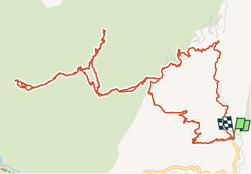

12.2 km | 20 km-effort

User


FREE GPS app for hiking
 SityTrail
IGN / Geographical institutes
SityTrail World
The world is yours!
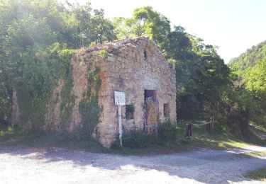
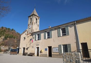
Trail Other activity of 10.5 km to be discovered at Provence-Alpes-Côte d'Azur, Maritime Alps, Pierlas. This trail is proposed by MoGi06.
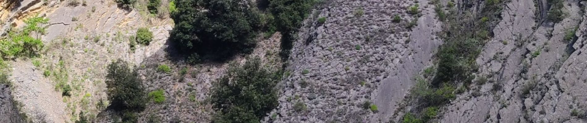
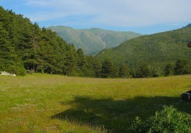
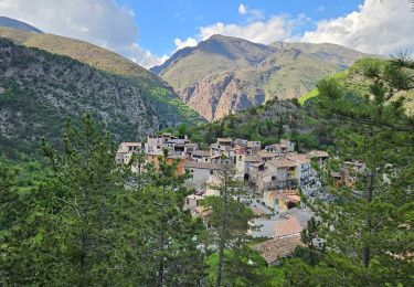
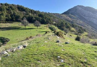
 - Photo 1")
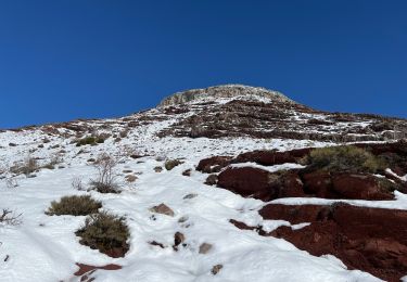
 - Photo 2")
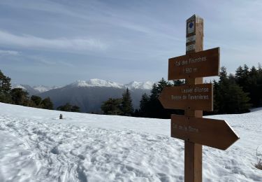
 - Photo 3")
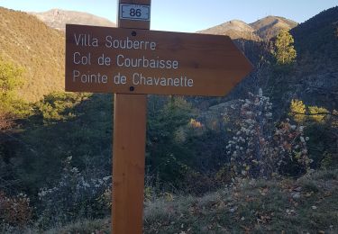
 - Photo 4")
 - Photo 5")
 - Photo 6")
 - Photo 7")
 - Photo 8")
 - Photo 9")
 - Photo 10")
 - Photo 11")
 - Photo 12")
 - Photo 13")
 - Photo 14")
 - Photo 15")
On foot
Walking
Walking
Snowshoes
Snowshoes
Walking
Walking

Walking
On foot