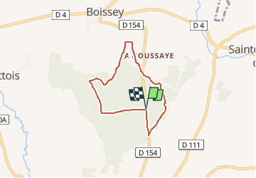
5.4 km | 6.6 km-effort
Le bois de Quevrue
yannick-p
User
Length
5.2 km
Max alt
181 m
Uphill gradient
67 m
Km-Effort
6.1 km
Min alt
132 m
Downhill gradient
66 m
Boucle
Yes
Creation date :
2015-04-17 00:00:00.0
Updated on :
2015-04-17 00:00:00.0
1h23
Difficulty : Medium
FREE GPS app for hiking
About
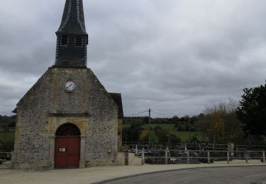
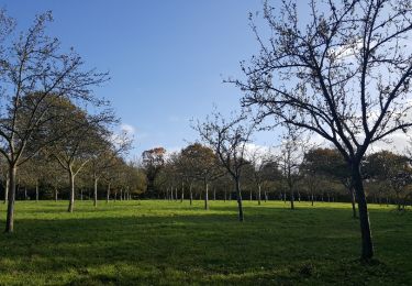
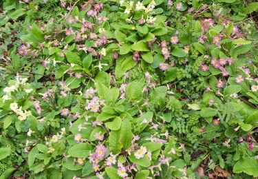
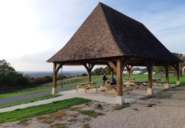
Trail Walking of 5.2 km to be discovered at Normandy, Calvados, Saint-Pierre-en-Auge. This trail is proposed by yannick-p.
Description
01# / L'arbre du boulanger
http://coord.info/GC5HBEE
Positioning
Country:
France
Region :
Normandy
Department/Province :
Calvados
Municipality :
Saint-Pierre-en-Auge
Location:
Mittois
Start:(Dec)
Start:(UTM)
284836 ; 5432070 (31U) N.
Comments
Trails nearby
Saint Georges en Auge
Walking
Easy
Saint-Pierre-en-Auge,
Normandy,
Calvados,
France
16.1 km | 21 km-effort
3h 33min
Yes
Montviette
Walking
Easy
Saint-Pierre-en-Auge,
Normandy,
Calvados,
France
7.1 km | 8.3 km-effort
2h 7min
Yes
Panorama sur l'Oudon
On foot
Easy
Saint-Pierre-en-Auge,
Normandy,
Calvados,
France
12.7 km | 16.3 km-effort
3h 42min
Yes
Géo-rando # 1 La petite vadrouille
Geocaching
Medium
Saint-Pierre-en-Auge,
Normandy,
Calvados,
France
5.4 km | 6.8 km-effort
3h 30min
Yes
St Marguerite de Viette
Walking
Easy
Saint-Pierre-en-Auge,
Normandy,
Calvados,
France
11 km | 13.1 km-effort
2h 47min
Yes
Monviette
Walking
Medium
Saint-Pierre-en-Auge,
Normandy,
Calvados,
France
22 km | 28 km-effort
5h 5min
Yes
Vallée de l'Oudon
Walking
Easy
(1)
Saint-Pierre-en-Auge,
Normandy,
Calvados,
France
12.9 km | 16.4 km-effort
3h 11min
Yes
Les bois d'Ecots 3
Geocaching
Medium
Saint-Pierre-en-Auge,
Normandy,
Calvados,
France
6 km | 7.9 km-effort
2h 0min
Yes