Trail Walking Orcières - Prapric lac des pisses, retour telemix - Photo

Prapric lac des pisses, retour telemix

 PhilB24
PhilB24

User

© OpenStreetMap contributors
Length
Length
11.7 km
Max alt
Max alt
2505 m
Uphill gradient
Uphill gradient
1063 m
Km-Effort
Km-Effort  
23 km
Min alt
Min alt
1554 m
Downhill gradient
Downhill gradient
341 m
Boucle
Boucle
No
Creation date :
2024-07-08 08:17:44.122
Updated on :
2024-07-08 16:52:42.901

(0 Reviews)

Walking
Walking
3h44
Difficulty : Difficult

Scan this QR Code to open this trail in the SityTrail application

FREE GPS app for hiking

Logo SityTrail SityTrail

IGN / Geographical institutes

Download SityTrail from the App Store Download SityTrail from Google Play

Logo SityTrail SityTrail Plus

The world is yours!

Download SityTrail from the App Store Download SityTrail from Google Play Download SityTrail on Huawei AppGallery

About

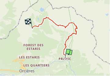
Trail Walking of 11.7 km to be discovered at Provence-Alpes-Côte d'Azur, Hautes-Alpes, Orcières. This trail is proposed by PhilB24.

Description

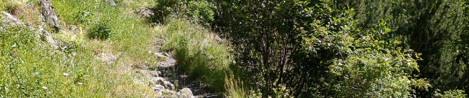
Départ Papric - lac des pisses rando incontournable superbes paysages à la montée, 3h15 avec les pauses. Retour par telemix Rocherousse pour économiser les genoux et éviter les 1000 m de descente, 1h30 depuis lac des pisses. Attention telemix dernière descente à 16h45. S'informer à l'Office du tourisme sur l'état du chemin et des ponts. Quelques passages délicats au retour sur plaques de schiste.

Elevation profile

Photos

Positioning

Country:
France
Region :
Provence-Alpes-Côte d'Azur
Department/Province :
Hautes-Alpes
Municipality :
Orcières
Location:
Unknown
Start:(UTM)
291574 ; 4952224 (32T) N.


Close
My subscriptions