


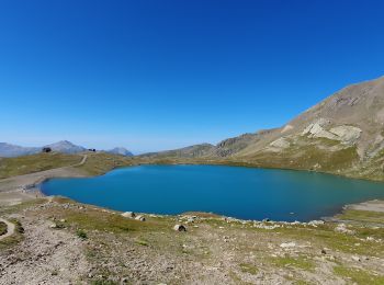
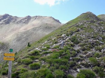
6.3 km | 9.9 km-effort
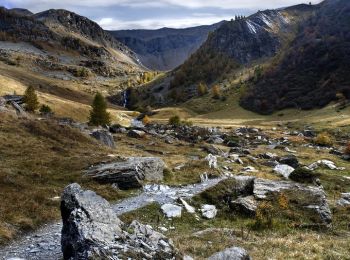
Orcières: Discover the best trails: 161 hiking trails and 6 bike and mountain-bike routes. All these trails, routes and outdoor activities are available in our SityTrail applications for smartphones and tablets.

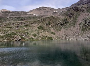
Walking


Walking
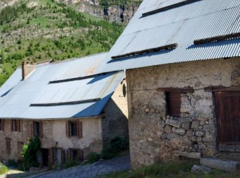
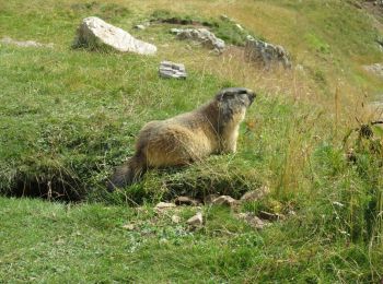
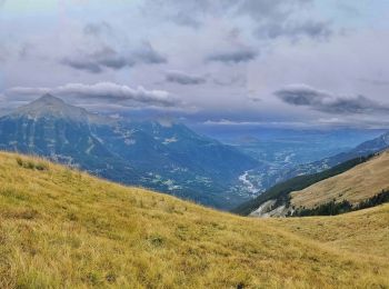
• If you dream of getting close to wild marmots, after an easy 2h ride, go to Prapic, an hour away from Veynes. It is a...
Walking
Walking
Walking
Walking

Walking
Walking
•
Walking
•

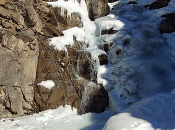
Snowshoes
Walking
• Avec les enfants, nous partons pour cette belle rando à la journée au fond du vallon aux marmotes à Prapic.Détails et...

Walking

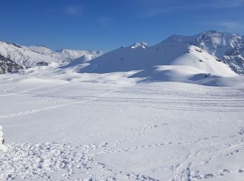
Touring skiing
Walking
Walking
Walking
Snowshoes

Touring skiing
Walking

Walking
20 trails displayed on 268
FREE GPS app for hiking
 SityTrail
IGN / Geographical institutes
SityTrail World
The world is yours!