


Prapic - saut du laïr / retour

stef789
User GUIDE
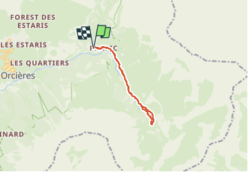

Length
9.9 km

Max alt
1902 m

Uphill gradient
407 m
Km-Effort
15.3 km

Min alt
1529 m

Downhill gradient
406 m
Boucle
Yes
Creation date :
2024-08-03 11:42:45.111
Updated on :
2024-08-03 16:32:43.225
4h45
Difficulty : Medium

FREE GPS app for hiking
 SityTrail
IGN / Geographical institutes
SityTrail Plus
The world is yours!
About
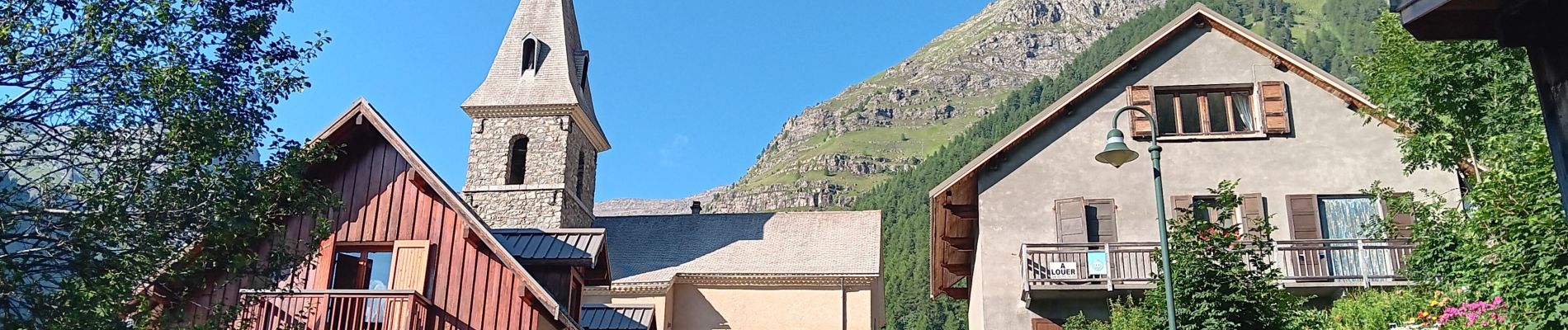
Trail Walking of 9.9 km to be discovered at Provence-Alpes-Côte d'Azur, Hautes-Alpes, Orcières. This trail is proposed by stef789.
Photos


63 photos in total. Please click on a photo to see them all in the gallery.
Positioning
Country:
France
Region :
Provence-Alpes-Côte d'Azur
Department/Province :
Hautes-Alpes
Municipality :
Orcières
Location:
Unknown
Start:(Dec)
Start:(UTM)
291222 ; 4952263 (32T) N.
Comments