


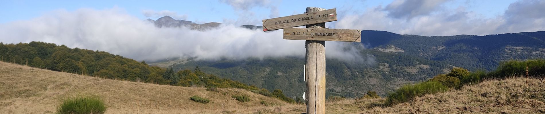
Le col de Rieufred

c.chehere
User


Length
11.3 km

Max alt
1612 m

Uphill gradient
383 m
Km-Effort
16.4 km

Min alt
1368 m

Downhill gradient
381 m
Boucle
Yes
Creation date :
2024-09-17 05:39:02.79
Updated on :
2024-09-17 11:16:20.793
3h34
Difficulty : Medium

FREE GPS app for hiking
 SityTrail
IGN / Geographical institutes
SityTrail Plus
The world is yours!
About
Trail Walking of 11.3 km to be discovered at Occitania, Ariège, Prades. This trail is proposed by c.chehere.
Photos


Positioning
Country:
France
Region :
Occitania
Department/Province :
Ariège
Municipality :
Prades
Location:
Unknown
Start:(Dec)
Start:(UTM)
406020 ; 4734872 (31T) N.
Comments