


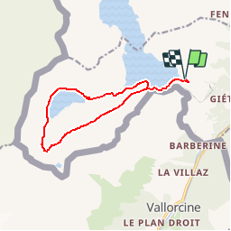

8.7 km | 19 km-effort


User


FREE GPS app for hiking
 SityTrail
IGN / Geographical institutes
SityTrail World
The world is yours!
Trail Walking of 12.1 km to be discovered at Valais/Wallis, Saint-Maurice, Finhaut. This trail is proposed by rpf.
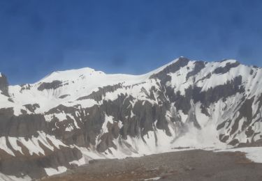
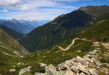
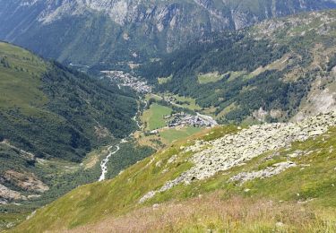
Une très belle randonnée à faire de préférence à fin août lorsque les barrages sont pleins... un mélange de promenade au bord de l''eau, de randonnée en montagne, et de balade culturelle préhistorique sur les "fameuses" traces de dinosaures, qui restent tout-de-même bien moins spectaculaires que les paysages traversés !... Les coups d''oeil sur l''arrière-vallée du Vieux Emosson sont magnifiques.
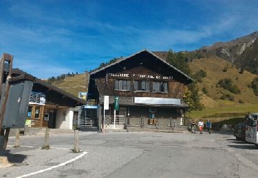
Départ au barrage d''Emosson, montée par les Gorges de la Veudale.
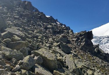
Petite halte préhistorique aux traces de dinosaures et tour du Vieux Emosson jusqu''à la Cabane du Lac.
Retour par le bord du nouveau barrage.
Longue balade avec de magnifiques paysages.
Une balade de " www.toprando.ch "
Touring skiing
Walking
On foot
On foot
Walking
Walking
Walking

Walking
Walking