


11.2 km | 14.6 km-effort

User


FREE GPS app for hiking
 SityTrail
IGN / Geographical institutes
SityTrail World
The world is yours!
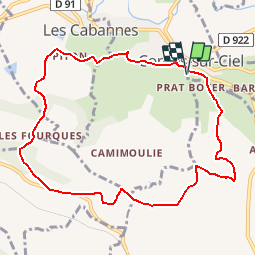
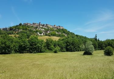
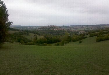
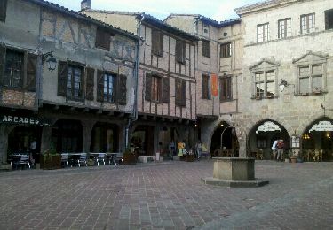
Trail Walking of 9.9 km to be discovered at Occitania, Tarn, Cordes-sur-Ciel. This trail is proposed by caminaire.
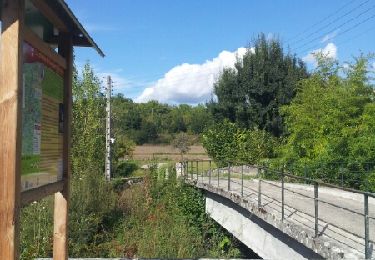
Le départ ce situe au sud de Cordes prés des rues de Litou et de Fournarens ( attention aux parcmètres!)Pour une arrivée en descente douce prévoir le circuit en sens inverse des aiguilles d'une montre. De la rue de Litou le petit sentier est de suite à gauche du transfo ERDF et pompe. Suivre toujours les passages les plus au sud du village. Ne pas manquer le sentier à G en épingle sous les murs des bâtiments du Couvent. Rattraper le GR36 après La Devèze; il sera quitté avant la Favarié. Après la dernière montée importante cheminer sur le plateau jusqu'au hameau des Sarmazes et redescendre vers le point de départ.


Walking
Walking

Walking
Walking
Walking
Walking
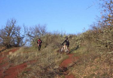
Mountain bike
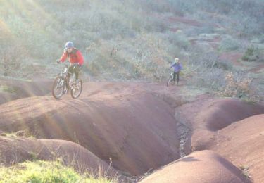
Mountain bike