


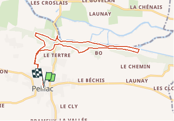


13.9 km | 16.6 km-effort


User


FREE GPS app for hiking
 SityTrail
IGN / Geographical institutes
SityTrail World
The world is yours!
Trail Walking of 9 km to be discovered at Brittany, Morbihan, Peillac. This trail is proposed by neoroll44.
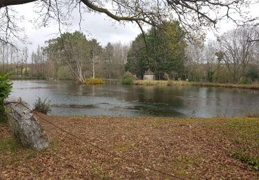
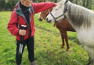
Echappez-vous le temps d’une balade par les sentiers ombragés pour rejoindre, depuis Peillac, le Pont d’Oust et le canal de Nantes à Brest puis sur le haut d’un coteau vous traverserez des villages traditionnels.


On foot

Walking
Walking
Walking

Walking

Walking

Walking

Walking

Walking