


aiguelongue

c.chehere
User
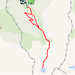

Length
9 km

Max alt
2083 m

Uphill gradient
671 m
Km-Effort
17.9 km

Min alt
1415 m

Downhill gradient
673 m
Boucle
Yes
Creation date :
2016-10-10 00:00:00.0
Updated on :
2016-10-10 00:00:00.0
3h37
Difficulty : Easy

FREE GPS app for hiking
 SityTrail
IGN / Geographical institutes
SityTrail Plus
The world is yours!
About
Trail Walking of 9 km to be discovered at Occitania, Ariège, Orgeix. This trail is proposed by c.chehere.
Description
Itinéraire N°35 du guide N° édité par l'office du tourisme des vallées d'Ax.
Retour un peu différent par des pistes forestières en foret.
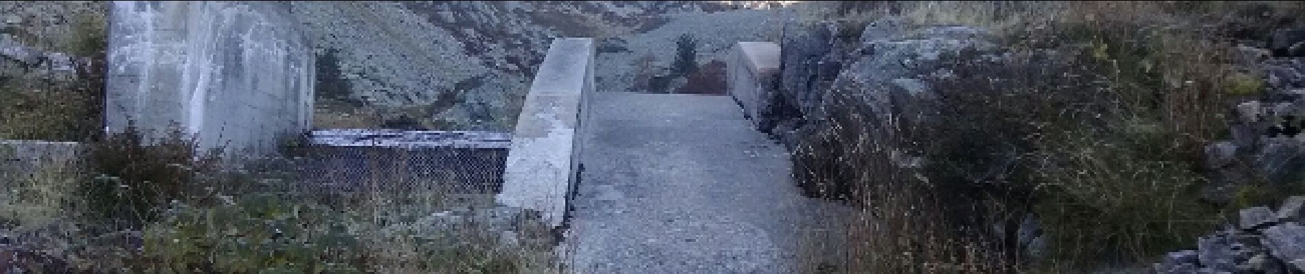
Photos


Positioning
Country:
France
Region :
Occitania
Department/Province :
Ariège
Municipality :
Orgeix
Location:
Unknown
Start:(Dec)
Start:(UTM)
407585 ; 4724547 (31T) N.
Comments
super, magnifique balade