


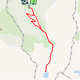

6,8 km | 10,7 km-effort

Utilisateur


Application GPS de randonnée GRATUITE
 SityTrail
IGN / Instituts géographiques
SityTrail World
Le monde est à vous
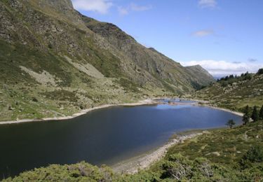
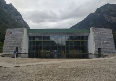
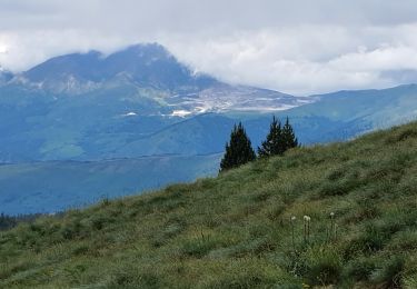
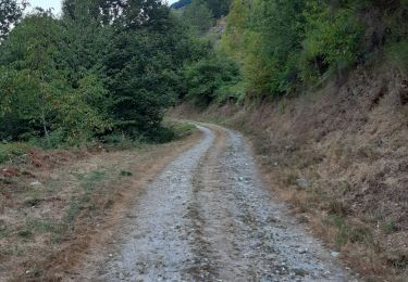
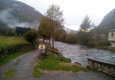
Randonnée Marche de 9 km à découvrir à Occitanie, Ariège, Orgeix. Cette randonnée est proposée par c.chehere.
Itinéraire N°35 du guide N° édité par l'office du tourisme des vallées d'Ax.
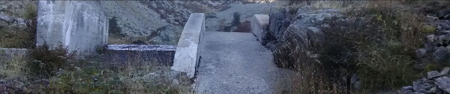
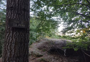
Retour un peu différent par des pistes forestières en foret.


Marche
V.T.T.
Marche
Marche
Marche
Marche nordique
super, magnifique balade