


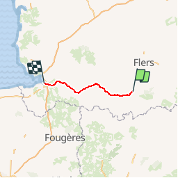
Basse Normandie - Ligne 437 - Domfront - Pontaubault

mich54
User


5m
Difficulty : Unknown

FREE GPS app for hiking
 SityTrail
IGN / Geographical institutes
SityTrail Plus
The world is yours!
About
Trail Other activity of 62 km to be discovered at Normandy, Orne, Domfront en Poiraie. This trail is proposed by mich54.
Description
La ligne de Domfront à Pontaubault est une ancienne ligne ferroviaire française qui reliait les villes d'Avranches et Domfront, en région Basse-Normandie. Après sa fermeture, elle est déclassée et sa voie déposée. Depuis, la plate-forme a été réaménagée en voie verte.
Fermeture au service voyageurs : 18 juillet 19395 (mais rouverte pendant la guerre entre le 6 octobre 1940 et 1946).(Source Wikipédia)
Positioning
Comments