


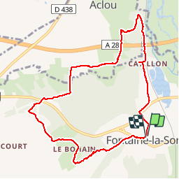

8.4 km | 10.7 km-effort


User


FREE GPS app for hiking
 SityTrail
IGN / Geographical institutes
SityTrail World
The world is yours!
Trail Walking of 9.2 km to be discovered at Normandy, Eure, Nassandres sur Risle. This trail is proposed by werth.
bien mais pas balisé

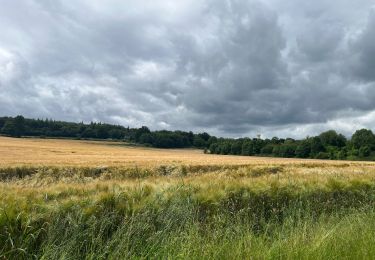
Walking

Walking
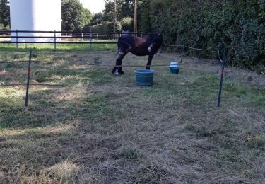
Horseback riding

Walking

Equestrian

Mountain bike

Walking

sport
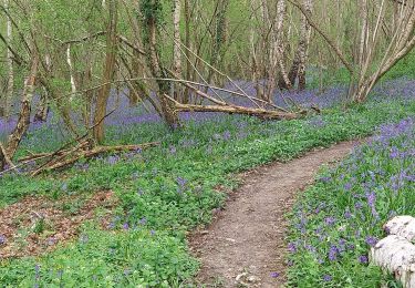
Walking