


5.7 km | 6.2 km-effort


User


FREE GPS app for hiking
 SityTrail
IGN / Geographical institutes
SityTrail World
The world is yours!
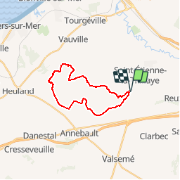
Trail Other activity of 19 km to be discovered at Normandy, Calvados, Beaumont-en-Auge. This trail is proposed by Laurent53.
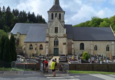
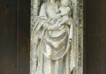
Visite indispensable de l'église Saint Pierre Azif! Prévoir l'ouverture de l'église.
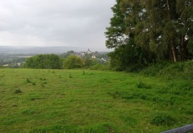
Nombreux passages humides dans les fonds de vallées, guets.

Walking
Walking
Walking

Walking
Electric bike
Walking
Walking
Walking
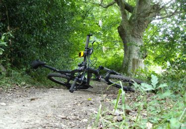
Mountain bike