


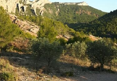
2.2 km | 4.1 km-effort
Walking

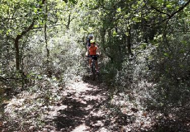
Mountain bike

Mountain bike

Mountain bike
Cycle
Mountain bike
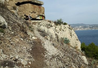
Walking
Walking
Walking

Walking
Walking
Walking
Walking
Walking
Walking
Walking

Walking

Walking

Walking
Walking
Walking