


10,8 km | 13,8 km-effort
Hastière: Descubra las mejores excursiones: 24 a pie, 160 senderismo, 10 marcha nórdica y 1 ruta. Todos estos circuitos, recorridos, itinerarios y actividades al aire libre están disponibles en nuestras aplicaciones SityTrail para smartphone y tablet.
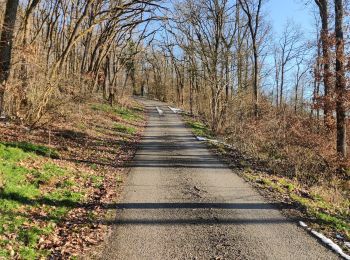
Senderismo


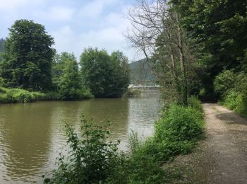
Senderismo
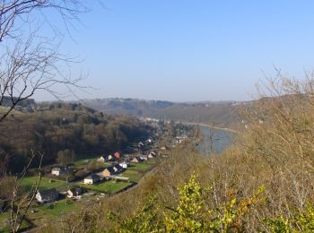
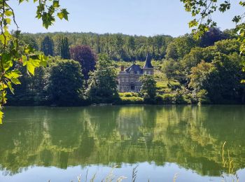
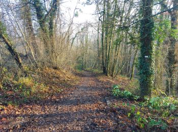
• Hastière – Blaimont – Waulsort – Hastière Attention! Cet itinéraire est seulement praticable du 1er avril au 30 sept...
Senderismo
• Hastière – Blaimont – Waulsort – Hastière Attention! Cet itinéraire est seulement praticable du 1er avril au 30 sep...
Senderismo
• Hastière – Blaimont – Falmignoul – Waulsort – Hastière Attention! Cet itinéraire est seulement praticable du 1er avr...
Senderismo
•
Senderismo
Senderismo
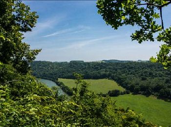
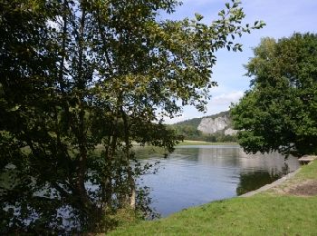
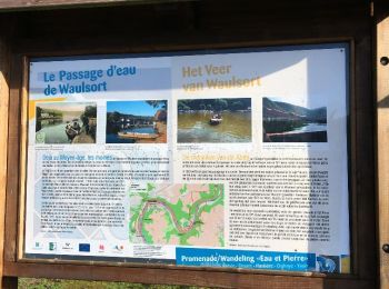
• Balade dans la pittoresque et sauvage vallée de l'Hermeton, de Hastière au village de Hermeton.
Senderismo
Senderismo
A pie

Senderismo
Senderismo
Senderismo
Senderismo
Senderismo
Senderismo
Senderismo
Senderismo

A pie

A pie
20 excursiones mostradas en 194
Aplicación GPS de excursión GRATIS
 SityTrail
IGN / Institutos geográficos
SityTrail World
El mundo es suyo