


12,3 km | 13,2 km-effort
Montgeron: Descubra las mejores excursiones: 86 a pie y 7 en bici o bici de montaña. Todos estos circuitos, recorridos, itinerarios y actividades al aire libre están disponibles en nuestras aplicaciones SityTrail para smartphone y tablet.

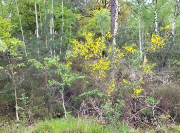
Senderismo


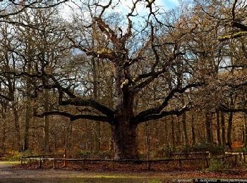
Senderismo

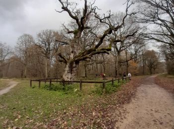
Senderismo
Bici de montaña
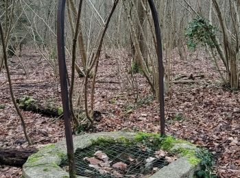
Senderismo
Senderismo

Senderismo
Senderismo
A pie
Senderismo

Senderismo
Senderismo
Senderismo
Bici de montaña
• Beaucoup de single Très peu de dénivelé Quelques passage technique surtout lorsque le sol est gras
Senderismo
Senderismo
Senderismo

Bicicleta híbrida
Senderismo
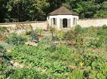
• boucle assez facile de 14 km en forêt et bords de Seine, qq allées cavalières et visite au jardin potager de Champrosay

A pie
20 excursiones mostradas en 96
Aplicación GPS de excursión GRATIS
 SityTrail
IGN / Institutos geográficos
SityTrail World
El mundo es suyo