


19,4 km | 35 km-effort
Saint-Amarin: Descubra las mejores excursiones: 58 a pie y 1 en bici o bici de montaña. Todos estos circuitos, recorridos, itinerarios y actividades al aire libre están disponibles en nuestras aplicaciones SityTrail para smartphone y tablet.

Senderismo


Senderismo
Senderismo
Senderismo
Senderismo
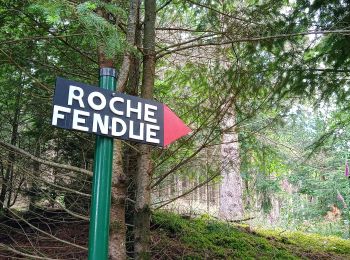
• Dur et longue pour des marcheurs amateurs et surveillés par les organisateurs et volontaires du Tour de La Vallée de...
 18.621
sport
Senderismo
Senderismo
Senderismo
Senderismo
Senderismo
Senderismo
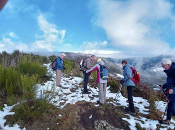
Raquetas de nieve
Bici de montaña
Senderismo
Senderismo
Senderismo
Senderismo

A pie
Senderismo
20 excursiones mostradas en 71
Aplicación GPS de excursión GRATIS
 SityTrail
IGN / Institutos geográficos
SityTrail World
El mundo es suyo