


11 km | 15,4 km-effort
Curières: Descubra las mejores excursiones: 24 a pie. Todos estos circuitos, recorridos, itinerarios y actividades al aire libre están disponibles en nuestras aplicaciones SityTrail para smartphone y tablet.
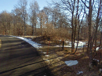
Senderismo


Senderismo
Senderismo
Senderismo
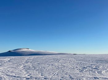
Raquetas de nieve
Senderismo
Senderismo
Senderismo

Senderismo
Senderismo

Senderismo
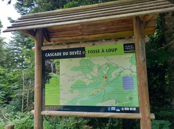
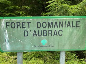
• À la découverte de belles forêts domaniales où coulent ruisseaux et cascades et brillent les champs de neige.
Senderismo
Senderismo
Senderismo
Senderismo
Senderismo

Deportes de invierno
Senderismo
Senderismo
Senderismo
20 excursiones mostradas en 27
Aplicación GPS de excursión GRATIS
 SityTrail
IGN / Institutos geográficos
SityTrail World
El mundo es suyo