


16,2 km | 31 km-effort
Barèges: Descubra las mejores excursiones: 130 a pie y 4 en bici o bici de montaña. Todos estos circuitos, recorridos, itinerarios y actividades al aire libre están disponibles en nuestras aplicaciones SityTrail para smartphone y tablet.
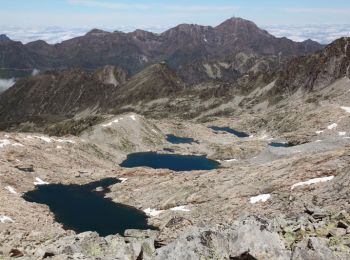
Senderismo


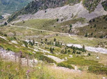
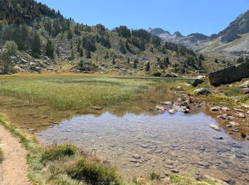
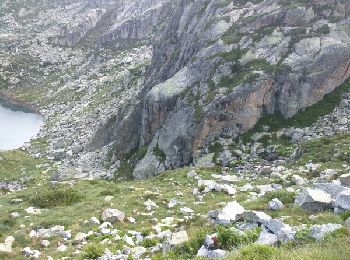
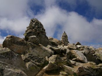
• Traversée assez technique, brèche de Chaussenque avec éboulis et roches instables, de long névés vers le Neouvielle
Senderismo
Senderismo
Senderismo

Senderismo
• Départ du parking du Grand Tourmalet. Suivre le GR10, prendre la direction de la cabane d'Aygues Cluses. Continuer ve...
Senderismo
Senderismo
Senderismo
A pie
Senderismo
Senderismo
Senderismo
Senderismo
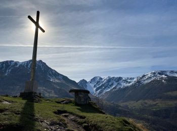
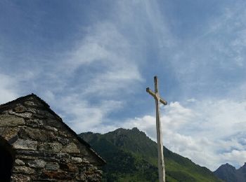
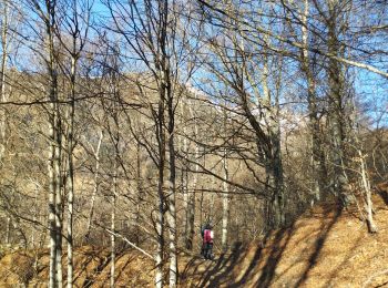
• randonnée de 9km à la découverte des plateaux de baréges. petit vue panoramique de la croix de saint justin.
Senderismo
• Traversée assez technique, brèche de Chaussenque avec éboulis et roches instables, de long névés vers le Neouvielle

Raquetas de nieve
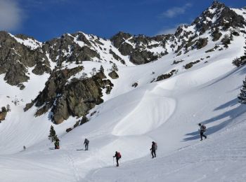
Raquetas de nieve
Senderismo
Senderismo
Senderismo
Senderismo
20 excursiones mostradas en 174
Aplicación GPS de excursión GRATIS
 SityTrail
IGN / Institutos geográficos
SityTrail World
El mundo es suyo