


9,9 km | 14,2 km-effort
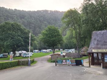
Saint-Léonard-des-Bois: Descubra las mejores excursiones: 51 a pie y 9 en bici o bici de montaña. Todos estos circuitos, recorridos, itinerarios y actividades al aire libre están disponibles en nuestras aplicaciones SityTrail para smartphone y tablet.
Bici de montaña


Bici de montaña
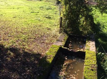
A pie
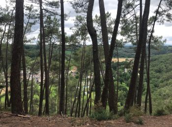
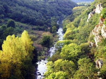
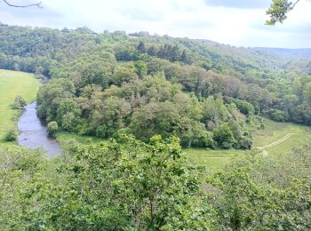
• Envie de nature, envie de patrimoine, envie d’activités? Et si vous veniez explorer les Alpes Mancelles! Sitio web: ...
A pie
• Sitio web: http://randomontdesavaloirs.free.fr/
Senderismo
Senderismo
Senderismo

Senderismo
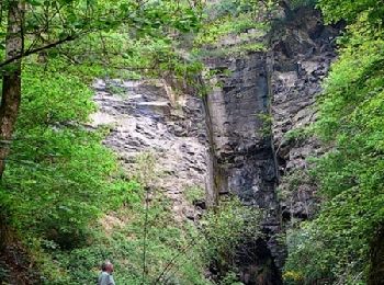
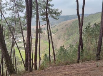
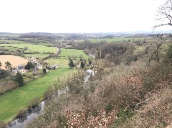
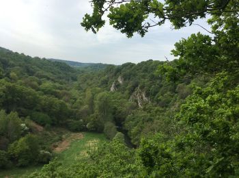
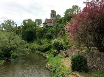
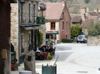
• randonnée au départ de l'Eglise de Saint Léonard des bois, on grimpe sur la hauteur pour avoir une superbe vue sur le...
Senderismo
Senderismo
Senderismo
Senderismo
Otra actividad
Otra actividad
Senderismo

Bici de montaña
Senderismo
Senderismo
Bicicleta híbrida
Senderismo
20 excursiones mostradas en 63
Aplicación GPS de excursión GRATIS
 SityTrail
IGN / Institutos geográficos
SityTrail World
El mundo es suyo