


5,8 km | 10 km-effort
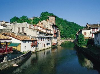
Saint-Étienne-de-Baïgorry: Descubra las mejores excursiones: 78 a pie y 3 en bici o bici de montaña. Todos estos circuitos, recorridos, itinerarios y actividades al aire libre están disponibles en nuestras aplicaciones SityTrail para smartphone y tablet.
A pie


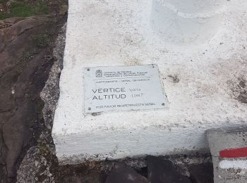
• Symbol: white strip on top of green strip

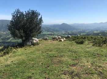
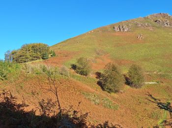
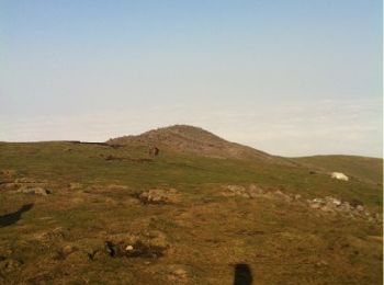
Senderismo
•
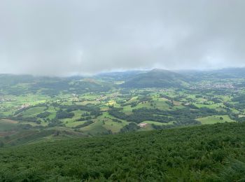
Senderismo
Senderismo
Senderismo
Senderismo
Senderismo
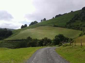
• Départ quartier Urdos près de St Etienne de Baigorry et tout près de l'hôtel Manechenia. Prendre une piste qui monte ...
Senderismo
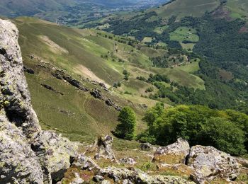
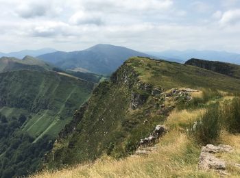
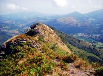
• Très très belle Rando à faire obligatoirement dans le sens réalisé sous peine de gros vertige à la descente!
Otra actividad
• Fastoche
Senderismo
Senderismo
Senderismo
Senderismo
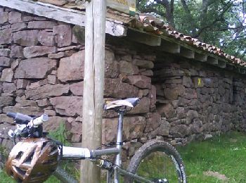
Bici de montaña
Senderismo
•
Senderismo
Senderismo
Bici de montaña
Carrera
Bici de montaña
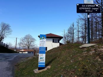
• descente du col d'ispeguy. Depart st etienne-col elhorrieta-col ispeguy
20 excursiones mostradas en 83
Aplicación GPS de excursión GRATIS
 SityTrail
IGN / Institutos geográficos
SityTrail World
El mundo es suyo