


5,4 km | 6,3 km-effort
Saint-François: Descubra las mejores excursiones: 43 a pie y 1 en bici o bici de montaña. Todos estos circuitos, recorridos, itinerarios y actividades al aire libre están disponibles en nuestras aplicaciones SityTrail para smartphone y tablet.
A pie


• Trail created by Parc National de la Guadeloupe. Sitio web: http://www.randoguadeloupe.gp/pedestre/sentier-de-la-p...
Bici de montaña
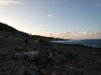
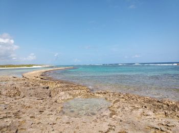
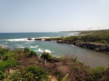
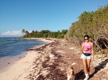
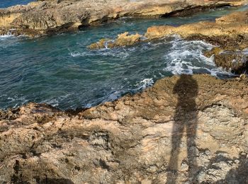
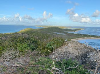
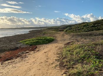
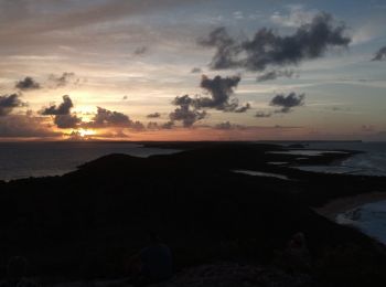
Senderismo
Senderismo
Senderismo
Senderismo
Senderismo

Senderismo
Senderismo
Senderismo
Senderismo
Ruta
Carrera
Ruta
Ruta
Senderismo

Otra actividad
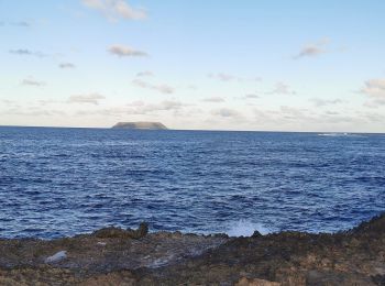
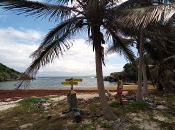
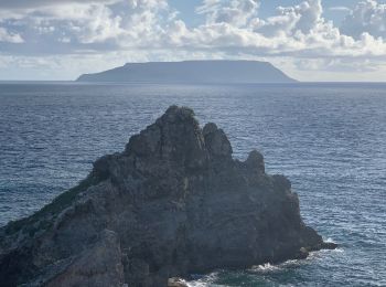
• Pointe des châteaux

Otra actividad
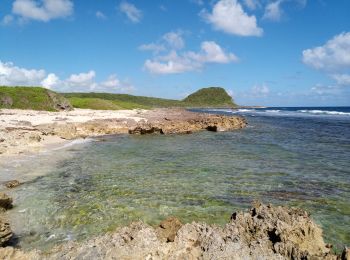
• Pointe des châteaux
Senderismo
Senderismo
20 excursiones mostradas en 48
Aplicación GPS de excursión GRATIS
 SityTrail
IGN / Institutos geográficos
SityTrail World
El mundo es suyo