


15,8 km | 25 km-effort

Usuario


Aplicación GPS de excursión GRATIS
 SityTrail
IGN / Institutos geográficos
SityTrail World
El mundo es suyo
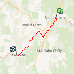
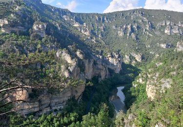
Ruta Senderismo de 15,5 km a descubrir en Occitania, Lozère, Gorges du Tarn Causses. Esta ruta ha sido propuesta por nolsim.
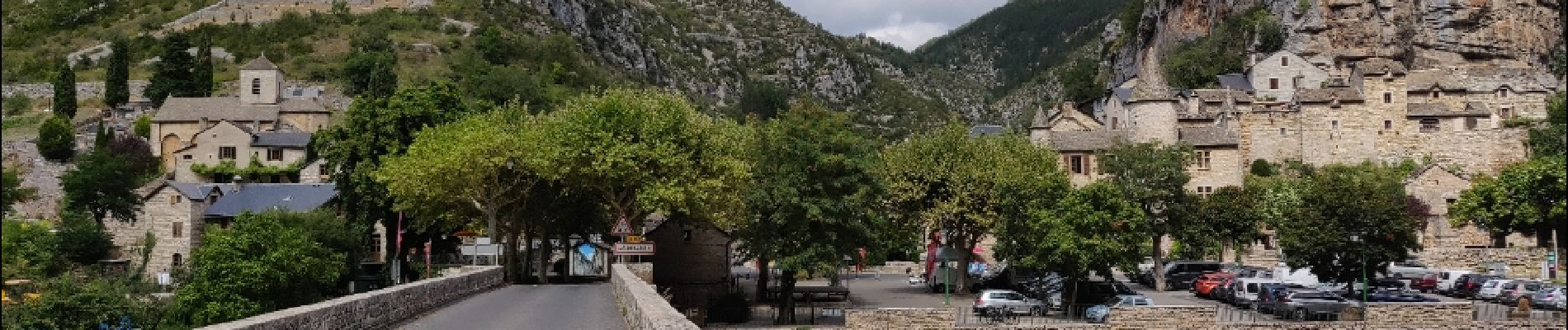
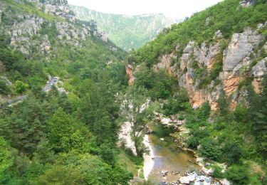
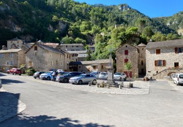
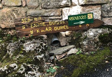
Ste Enimie - La Malene
Etape courte et agréable. Dénivellé faible. Traversée des jolis villages de St Chély du Tarn et Hauterives avec de beaux points de vue.


Senderismo
Senderismo

Senderismo
Senderismo
Senderismo

Senderismo

Senderismo
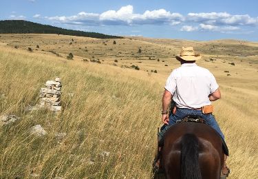
Caballo

Caballo