


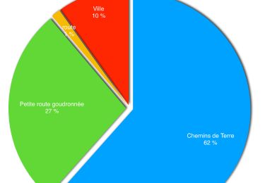
10,2 km | 12,2 km-effort

Usuario


Aplicación GPS de excursión GRATIS
 SityTrail
IGN / Institutos geográficos
SityTrail World
El mundo es suyo
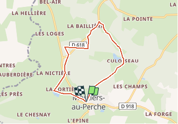
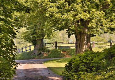
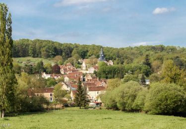
Ruta Senderismo de 6,3 km a descubrir en Normandía, Orne, Moutiers-au-Perche. Esta ruta ha sido propuesta por tracegps.
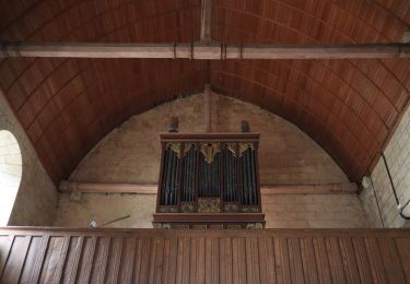
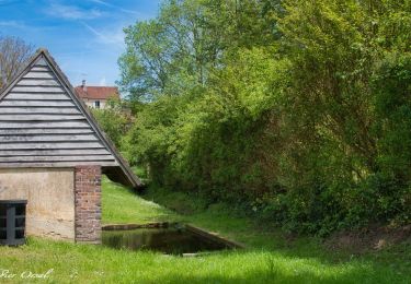
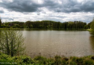
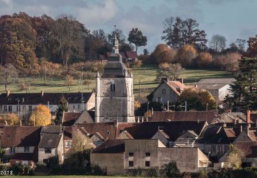
Perche authentique - Moutiers-au-Perche. Partez à la découverte d'un village de caractère et d'un domaine agricole réparti en herbages, bois et étangs. Retrouvez les Coup de Cœur Randonnée dans l’Orne en Normandie.

Senderismo
Senderismo
Senderismo
A pie
Senderismo
Senderismo
Senderismo
Senderismo
Senderismo