


5,7 km | 7,9 km-effort
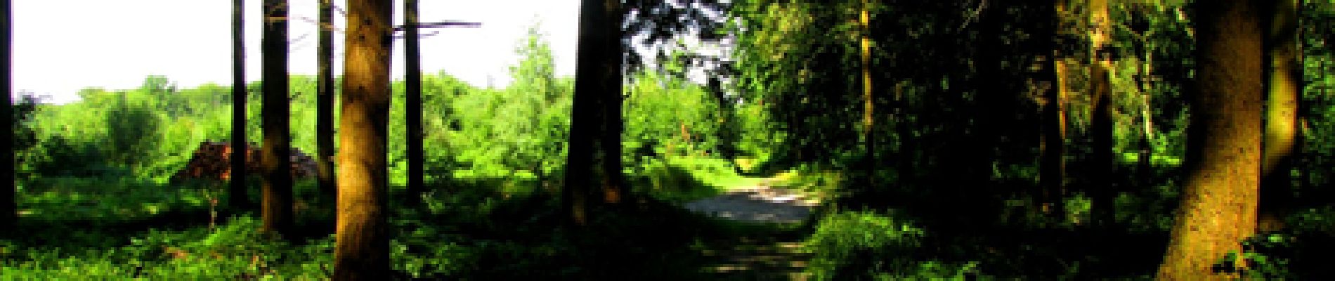

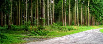
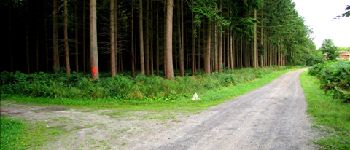
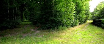
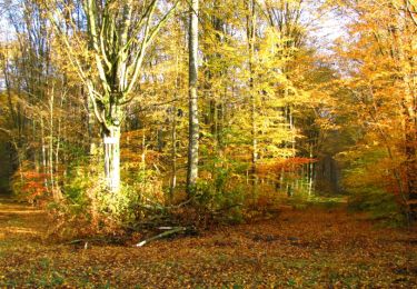
forêts de France


Aplicación GPS de excursión GRATIS
 SityTrail
IGN / Institutos geográficos
SityTrail World
El mundo es suyo
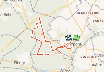
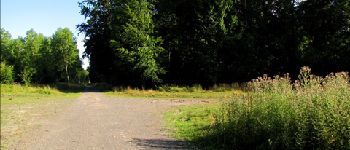
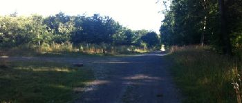
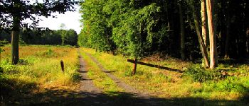
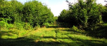
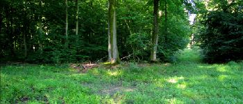
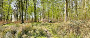
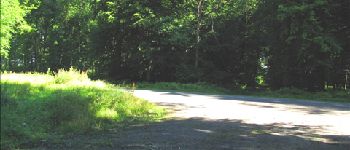
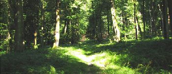
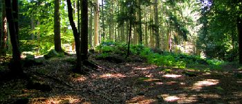
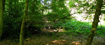
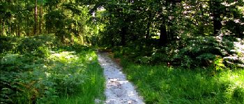
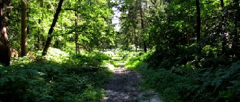
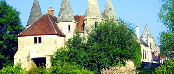
Ruta Senderismo de 17,5 km a descubrir en Alta Francia, Aisne, Longpont. Esta ruta ha sido propuesta por en forêt de Retz.
voir aussi:
http://foret-de-retz.over-blog.com/
08/2013
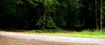
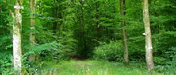
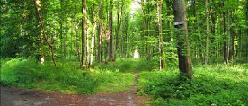
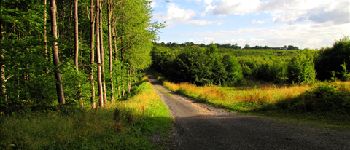
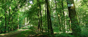
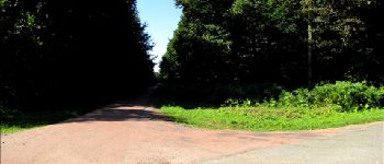
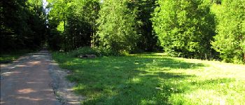
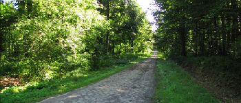
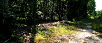
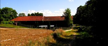
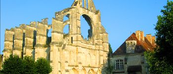
A partir de l'abbaye de Longpont,prendre le GR11A "aux trois maisons". Rejoindre le vieux chemin de Longpont et continuer jusqu'au carrefour Bosc. Prendre à droite la laie des Grands Charmes jusqu'au carrefour des Ecuries. Prendre à gauche la route de Chavigny jusqu'au carrefour du Hibou. Prendre à droite la route de Vauvaudran, traverser la D2 et continuer cette route jusqu'à la N2. Revenir sur ses pas, prendre le chemin à droite puis à gauche pour rejoindre le carrefour d'Eugénie. Suivre jusqu'au carrefour Chôron et prendre la laie du fond des couleuvres (traverser la D2)jusqu'au carrefour du Chapeau des Cordeliers. Prendre la laie des Monthieux jusqu'au carrefour de Chavigny. Prendre la route des Chamarts jusqu'à la Croix Bacquet puis le vieux chemin de Longpont. Rejoindre la route du Pendu jusqu'à Château Fée et la suivre jusqu'au carrefour du Pendu. Prendre la laie de la Croix Pain Tendre jusqu'au vieux chemin de Longpont. Continuer jusqu'à la D2 et rentrer à Longpont.


89 fotos en total. Haga clic en una foto para mostrarlas todas en la galería.

Senderismo

Senderismo

A pie

A pie

Senderismo

Senderismo

Senderismo

Senderismo
Senderismo
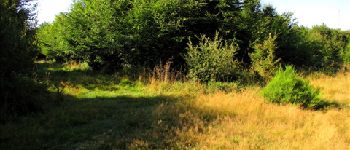
beau parcours,certains passages tres boueux