


4 km | 5,7 km-effort

Usuario GUIDE


Aplicación GPS de excursión GRATIS
 SityTrail
IGN / Institutos geográficos
SityTrail World
El mundo es suyo
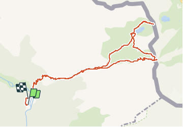
Ruta Senderismo de 14,2 km a descubrir en Aragón, Huesca, Torla-Ordesa. Esta ruta ha sido propuesta por rvapeldo.
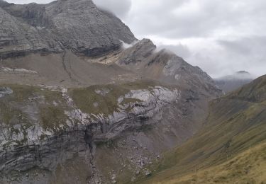
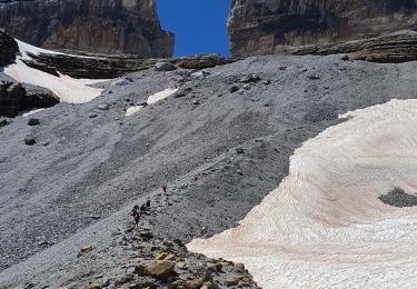
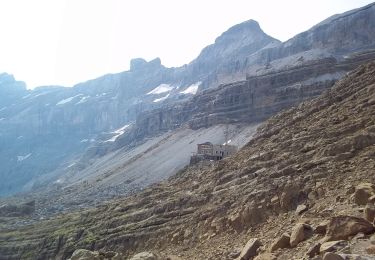
Rando classique qui va de St Nicolas de Bujaruelo, au nord de Torla, vers le col de Gavarnie, ou puerto de Bujuerelo, à la frontière française. Une belle grimpette d’un millier de mètres (col à 2272 m). Pour aller admirer la ligne des Pyrénées côté français (pic du Midi, le Piméné, le Pic Long, etc. Attention, il y a un parking pas loin du côté français, il y a donc des visiteurs. Pour revenir nous avons pris un sentier ténu pour accéder au col voisin, à l’ouest, puerto de Lapazosa (2335 m), qui surplombe un petit lac côté espagnol. Le chemin de retour rejoint celui emprunté pour monter.
Notons que le chemin de St Nicolas au col de Gavarnie est l’un des passages historiques du St Jacques de Compostelle. Refuge et terrasse accueillants à St Nicolas, qui n’est pas un village à proprement parler, mais un camping.


23 fotos en total. Haga clic en una foto para mostrarlas todas en la galería.

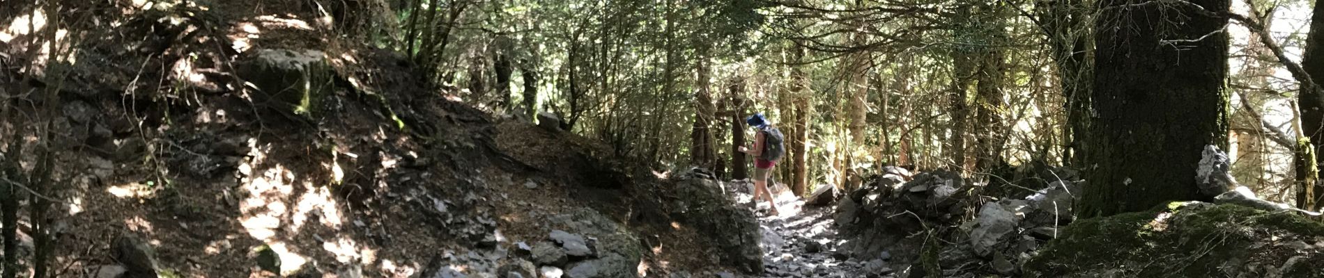
Senderismo

Senderismo

Senderismo

Senderismo

Senderismo
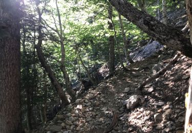
Senderismo
Senderismo
Senderismo
A pie