


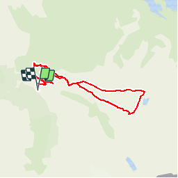

12,6 km | 26 km-effort

Usuario


Aplicación GPS de excursión GRATIS
 SityTrail
IGN / Institutos geográficos
SityTrail World
El mundo es suyo
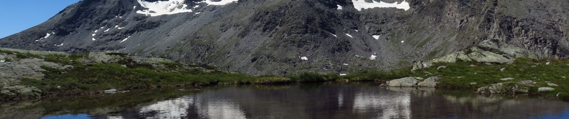
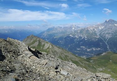
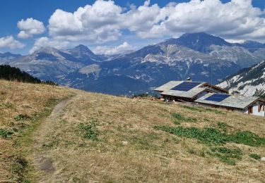
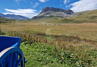
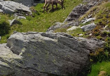
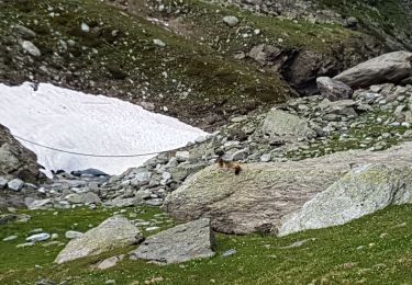
Ruta Senderismo de 15 km a descubrir en Auvergne-Rhône-Alpes, Saboya, Val-Cenis. Esta ruta ha sido propuesta por Gouze13.
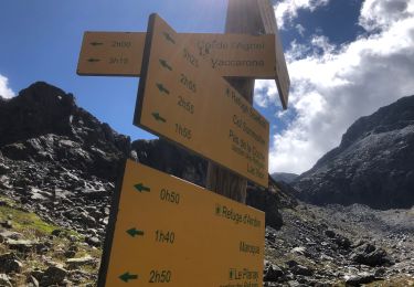
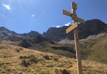
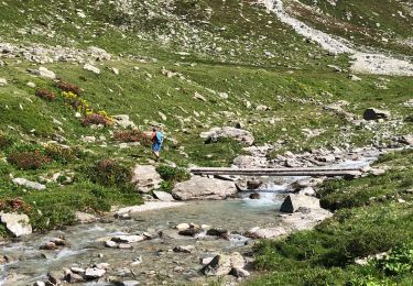
itinéraire pour montagnards expérimentés, en grande partie hors sentier. Tracé indicatif. Fortement déconseillé en cas de brouillard.


Senderismo

Senderismo
Senderismo
Senderismo
Senderismo
Senderismo
Senderismo
Senderismo
Senderismo