


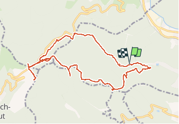

33 km | 64 km-effort

Usuario


Aplicación GPS de excursión GRATIS
 SityTrail
IGN / Institutos geográficos
SityTrail World
El mundo es suyo
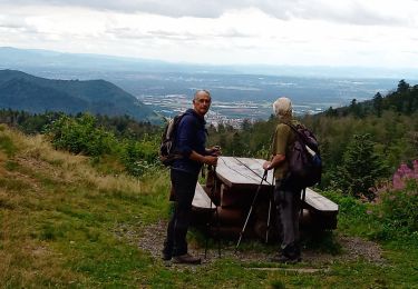
Ruta Senderismo de 11,4 km a descubrir en Gran Este, Alto Rin, Thann. Esta ruta ha sido propuesta por Richard68500.
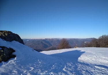
Le col du Hundsruck, à 748 m d'altitude, est un col du massif des Vosges situé dans le Haut-Rhin, en région Grand Est. A midi restaurant La Fourmi.
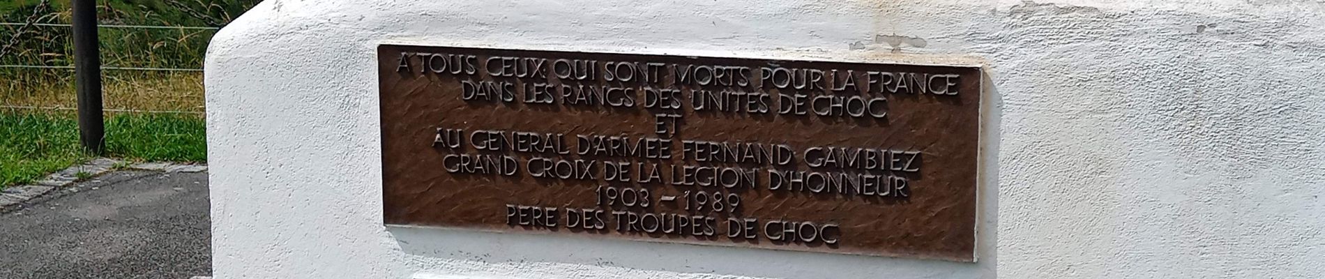
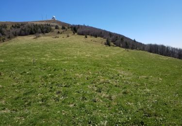
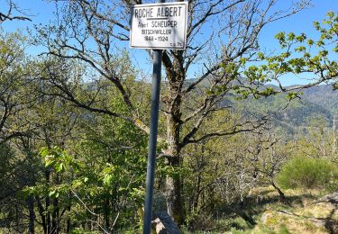
 - Photo 1")
 - Photo 2")
 - Photo 3")
 - Photo 4")

Otra actividad

Senderismo

Senderismo

A pie
Senderismo
Senderismo
Senderismo
Raquetas de nieve
Senderismo