


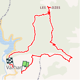

14,5 km | 19,2 km-effort


Usuario


Aplicación GPS de excursión GRATIS
 SityTrail
IGN / Institutos geográficos
SityTrail World
El mundo es suyo
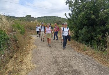
Ruta Senderismo de 13 km a descubrir en Occitania, Hérault, Vailhan. Esta ruta ha sido propuesta por hvezinet.
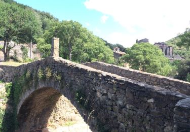
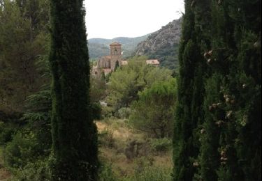
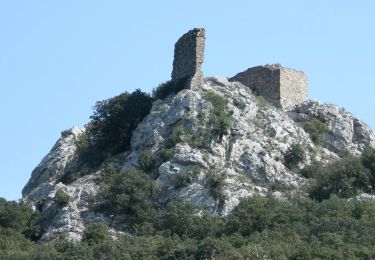
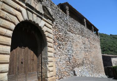
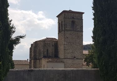
visite des ruines du chateau. belle vue. Montee progressive sur le plateau. agréable traversee du plateau. descente sur tiberet et ses moulins. Montee au tres joli hameau des crozes. retour par le puech cam et sa vue superbe. retour par sentier agréable et tres boisé. final par chemin avec vue sur le lac.
Senderismo
Senderismo
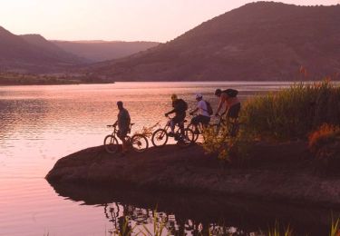
Bici de montaña
A pie
Senderismo

A pie
A pie

A pie
Senderismo
Très sympathique itinéraire