


24 km | 33 km-effort

Usuario


Aplicación GPS de excursión GRATIS
 SityTrail
IGN / Institutos geográficos
SityTrail World
El mundo es suyo
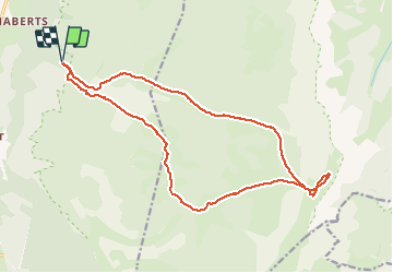
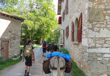
Ruta Senderismo de 19,3 km a descubrir en Auvergne-Rhône-Alpes, Drôme, Saint-Agnan-en-Vercors. Esta ruta ha sido propuesta por Philindy26.
Départ de la Coche, Saint-Agnan-en-Vercors (1352 m)...
Géolocalisation (Google Maps) : https://goo.gl/maps/QY7rXqGTxEiKSep37 (44°53'08.7"N / 5°26'33.5"E ou 44.885747, 5.442629).
Après le passage à Pré Grandu (1365 m), suivre la piste forestière de Rachier...
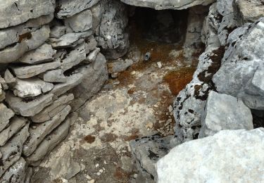
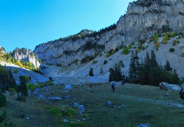
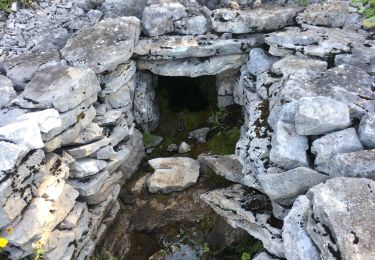
Passée par la Cabane de Gerland où se trouve une source (1500 m), les pâturages de la Grande Cabane (1566 m) et le Pas des Chatons (1827 m)...
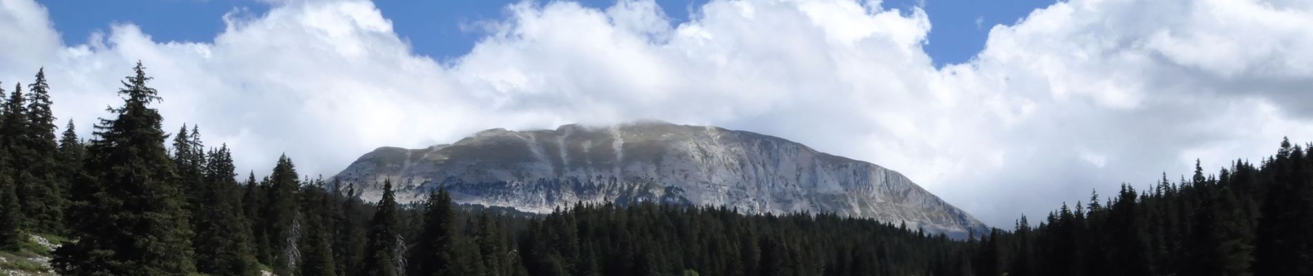
Puis suivre la pente herbeuse entre les falaises Est du Grand Veymont et le Rocher du Prayet pour accéder à l''Aiguillette ou Petit Veymont (2120 m)...
Retour par le Pas des Chatons (1827 m), puis direction la Fontaine des Serrons (1670 m) et nous suivons la piste forestière de Combau pour revenir à la Coche...


Senderismo

Raquetas de nieve
Senderismo
Senderismo
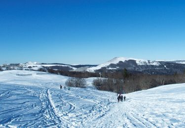
Raquetas de nieve
Senderismo
Senderismo
Senderismo
Senderismo