![](/images/other/stat-length.png)
![Excursión Senderismo Hermeray - Sortie botanique Hermeray - Photo](https://media.geolcdn.com/t/1900/400/ext.pjpeg?maxdim=2&url=https%3A%2F%2Fservices.sitytrail.com%2FGeolivesWS%2FDownloadMedia.ashx%3FTrailID%3D273712%26Media%3Dfix__20140504114450.jpg)
Sortie botanique Hermeray
microb
Usuario
![Longitud](/images/other/stat-length.png)
Longitud
3,3 km
![Altitud máxima](https://static1.geolcdn.com/siteimages/upload/files/1508320355ic_sort_altitude_max_24dp.png)
Altitud máxima
140 m
![Desnivel positivo](https://static1.geolcdn.com/siteimages/upload/files/1508320355ic_sort_den_pos_24dp.png)
Desnivel positivo
22 m
![Km-Effort](/images/other/stat-length.png)
Km-Effort
3,6 km
![Altitud mínima](https://static1.geolcdn.com/siteimages/upload/files/1508320355ic_sort_altitude_min_24dp.png)
Altitud mínima
125 m
![Desnivel negativo](https://static1.geolcdn.com/siteimages/upload/files/1508320355ic_sort_den_neg_24dp.png)
Desnivel negativo
20 m
![Boucle](https://static1.geolcdn.com/siteimages/upload/files/16400158638029165_repeat_loop_refresh_sync_direction_icon.png)
Boucle
Sí
Fecha de creación :
2018-06-05 00:00:00.0
Última modificación :
2018-06-05 00:00:00.0
![Senderismo](https://static1.geolcdn.com/sitytour/trail-icons/101.png)
2h47
Dificultad : Fácil
![Escanee este código QR para abrir la excursión en la aplicación SityTrail](https://capi.geolives.com/qq0zvz2zws4bq2lad0pu/sitytour/trails/273712/qr.png?size=200)
Aplicación GPS de excursión GRATIS
A propósito
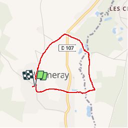
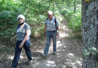
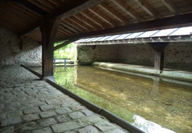
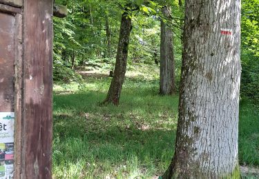
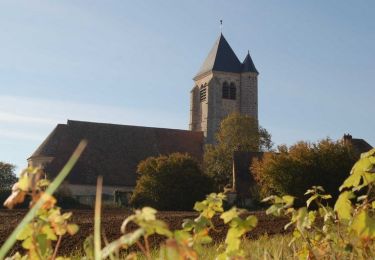
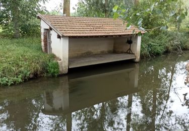
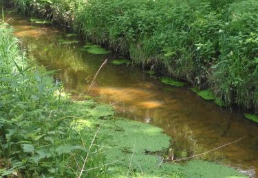
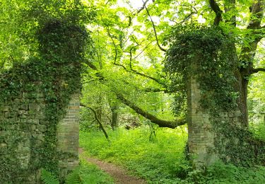
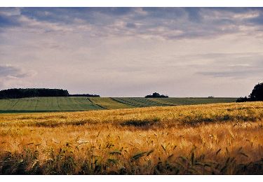
Ruta Senderismo de 3,3 km a descubrir en Isla de Francia, Yvelines, Hermeray. Esta ruta ha sido propuesta por microb.
Descripción
Avec Dany des bois du Cerf78
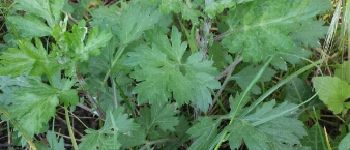
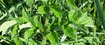
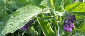
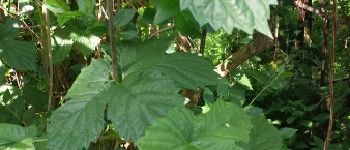
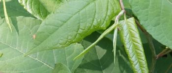
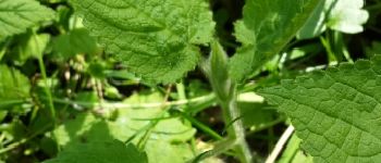
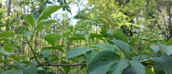
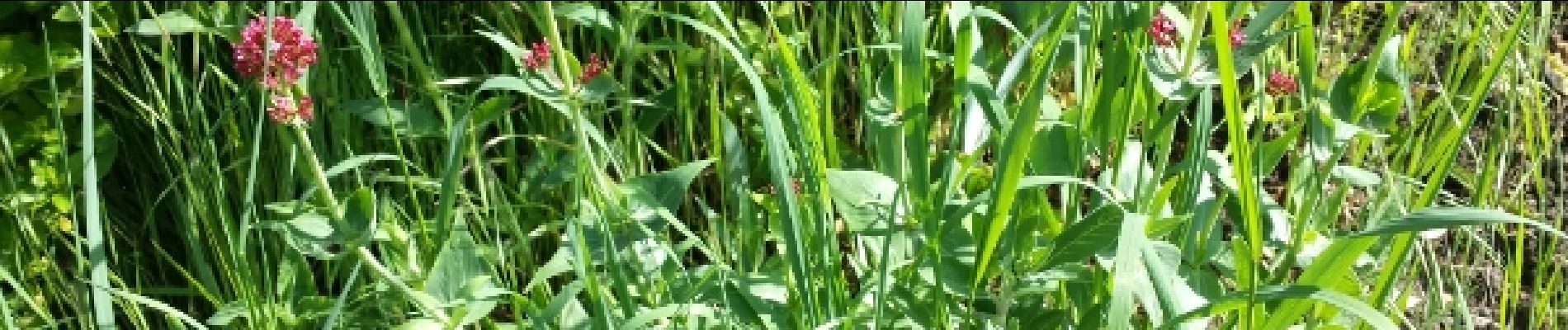
Localización
País:
France
Región :
Isla de Francia
Departamento/provincia :
Yvelines
Municipio :
Hermeray
Localidad:
Unknown
Salida:(Dec)
Salida:(UTM)
402400 ; 5387978 (31U) N.
Comentarios
Excursiones cerca
![Excursión Senderismo Poigny-la-Forêt - Sortie du 25/06/2015 - Photo](https://media.geolcdn.com/t/375/260/ext.jpg?maxdim=2&url=https%3A%2F%2Fservices.sitytrail.com%2FGeolivesWS%2FDownloadMedia.ashx%3FTrailID%3D438058%26Media%3Dfix__20150625121933.jpg)
![Senderismo Senderismo](https://static1.geolcdn.com/sitytour/trail-icons/101.png)
Sortie du 25/06/2015
Senderismo
Medio
(1)
Poigny-la-Forêt,
Isla de Francia,
Yvelines,
France
![](/images/other/stat-length.png)
12,5 km | 14,6 km-effort
3h 13min
![](https://static1.geolcdn.com/siteimages/upload/files/16400158638029165_repeat_loop_refresh_sync_direction_icon.png)
Sí
![Excursión Senderismo Droue-sur-Drouette - Droue sur Drouette st hillarion - Photo](https://media.geolcdn.com/t/375/260/ext.jpg?maxdim=2&url=https%3A%2F%2Fstatic1.geolcdn.com%2Fsiteimages%2Fupload%2Ffiles%2F1553511878bg_sport_marche.png)
![Senderismo Senderismo](https://static1.geolcdn.com/sitytour/trail-icons/101.png)
Droue sur Drouette st hillarion
Senderismo
Muy fácil
(1)
Droue-sur-Drouette,
Centro,
Eure-y-Loir,
France
![](/images/other/stat-length.png)
11,6 km | 13,8 km-effort
3h 0min
![](https://static1.geolcdn.com/siteimages/upload/files/16400158638029165_repeat_loop_refresh_sync_direction_icon.png)
Sí
![Excursión Senderismo Raizeux - _L'effet papillon - Photo](https://media.geolcdn.com/t/375/260/ext.jpg?maxdim=2&url=https%3A%2F%2Fservices.sitytrail.com%2FGeolivesWS%2FDownloadMedia.ashx%3FTrailID%3D783646%26Media%3D150bac2f-a08f-41a6-8995-6b7550502c9e.JPG)
![Senderismo Senderismo](https://static1.geolcdn.com/sitytour/trail-icons/101.png)
_L'effet papillon
Senderismo
Medio
Raizeux,
Isla de Francia,
Yvelines,
France
![](/images/other/stat-length.png)
6,4 km | 7,5 km-effort
1h 30min
![](https://static1.geolcdn.com/siteimages/upload/files/16400158638029165_repeat_loop_refresh_sync_direction_icon.png)
Sí
![Excursión Senderismo Poigny-la-Forêt - Rochers d'Angennes Yvelines - Photo](https://media.geolcdn.com/t/375/260/ext.jpg?maxdim=2&url=https%3A%2F%2Fmedia.geolcdn.com%2Ff%2F84e3942c-3b91-4957-8e21-15467325743e.jpg)
![Senderismo Senderismo](https://static1.geolcdn.com/sitytour/trail-icons/101.png)
Rochers d'Angennes Yvelines
Senderismo
Medio
Poigny-la-Forêt,
Isla de Francia,
Yvelines,
France
![](/images/other/stat-length.png)
6,3 km | 7,6 km-effort
1h 58min
![](https://static1.geolcdn.com/siteimages/upload/files/16400158638029165_repeat_loop_refresh_sync_direction_icon.png)
Sí
![Excursión Senderismo Épernon - D'Epernon à Saint-Martin-de-Nigelles - Photo](https://media.geolcdn.com/t/375/260/ext.jpg?maxdim=2&url=https%3A%2F%2Fservices.sitytrail.com%2FGeolivesWS%2FDownloadMedia.ashx%3FTrailID%3D111427%26Media%3D7236_4.jpg)
![Senderismo Senderismo](https://static1.geolcdn.com/sitytour/trail-icons/101.png)
D'Epernon à Saint-Martin-de-Nigelles
Senderismo
Difícil
Épernon,
Centro,
Eure-y-Loir,
France
![](/images/other/stat-length.png)
16,3 km | 18,2 km-effort
4h 4min
![](https://static1.geolcdn.com/siteimages/upload/files/16400158638029165_repeat_loop_refresh_sync_direction_icon.png)
Sí
![Excursión Senderismo Hanches - Hanches - Photo](https://media.geolcdn.com/t/375/260/ext.jpg?maxdim=2&url=https%3A%2F%2Fmedia.geolcdn.com%2Ff%2Fa9ab5dcb-7e75-48ca-95f7-7009b272c898.jpg)
![Senderismo Senderismo](https://static1.geolcdn.com/sitytour/trail-icons/101.png)
![Excursión Senderismo Poigny-la-Forêt - poigny la foret - Photo](https://media.geolcdn.com/t/375/260/ext.jpg?maxdim=2&url=https%3A%2F%2Fmedia.geolcdn.com%2Ff%2F26b13f85-72b2-4812-8f77-9a89412e190e.jpg)
![Senderismo Senderismo](https://static1.geolcdn.com/sitytour/trail-icons/101.png)
poigny la foret
Senderismo
Muy fácil
Poigny-la-Forêt,
Isla de Francia,
Yvelines,
France
![](/images/other/stat-length.png)
5,5 km | 6,3 km-effort
1h 53min
![](https://static1.geolcdn.com/siteimages/upload/files/16400158638029165_repeat_loop_refresh_sync_direction_icon.png)
No
![Excursión Senderismo Poigny-la-Forêt - rochers d'angennes mai 2019 - Photo](https://media.geolcdn.com/t/375/260/ext.jpg?maxdim=2&url=https%3A%2F%2Fmedia.geolcdn.com%2Ff%2Ffc4419ca-6600-4e14-a412-be1144fd9b56.jpg)
![Senderismo Senderismo](https://static1.geolcdn.com/sitytour/trail-icons/101.png)
rochers d'angennes mai 2019
Senderismo
Fácil
(1)
Poigny-la-Forêt,
Isla de Francia,
Yvelines,
France
![](/images/other/stat-length.png)
12,4 km | 14,7 km-effort
2h 30min
![](https://static1.geolcdn.com/siteimages/upload/files/16400158638029165_repeat_loop_refresh_sync_direction_icon.png)
Sí
![Excursión Senderismo Épernon - Autour d'Epernon et de la Drouette - Photo](https://media.geolcdn.com/t/375/260/ext.jpg?maxdim=2&url=https%3A%2F%2Fservices.sitytrail.com%2FGeolivesWS%2FDownloadMedia.ashx%3FTrailID%3D110152%26Media%3D5352_1.jpg)
![Senderismo Senderismo](https://static1.geolcdn.com/sitytour/trail-icons/101.png)
Autour d'Epernon et de la Drouette
Senderismo
Difícil
(1)
Épernon,
Centro,
Eure-y-Loir,
France
![](/images/other/stat-length.png)
22 km | 26 km-effort
5h 30min
![](https://static1.geolcdn.com/siteimages/upload/files/16400158638029165_repeat_loop_refresh_sync_direction_icon.png)
Sí