


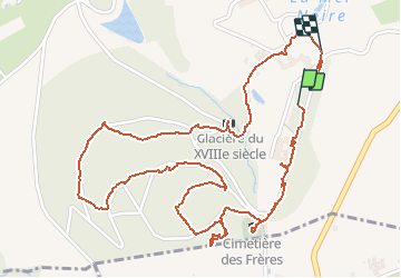

9,6 km | 11,8 km-effort


Usuario


Aplicación GPS de excursión GRATIS
 SityTrail
IGN / Institutos geográficos
SityTrail World
El mundo es suyo
Ruta Senderismo de 3,5 km a descubrir en Auvergne-Rhône-Alpes, Ródano, Éveux. Esta ruta ha sido propuesta por adye.
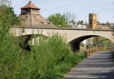
Le Couvent de La Tourette à #Eveux, classé au #patrimoinemondialdelunesco dans le cadre des 17 grandes réalisations de l'architecte #LeCorbusier
Senderismo

Bici de montaña
Senderismo

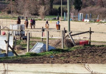
Paseo ecuestre

Senderismo
A pie
Paseo ecuestre
Senderismo
Senderismo