


9,2 km | 14,2 km-effort

Usuario


Aplicación GPS de excursión GRATIS
 SityTrail
IGN / Institutos geográficos
SityTrail World
El mundo es suyo
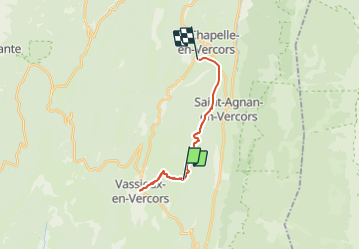
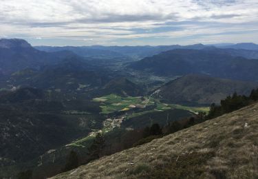
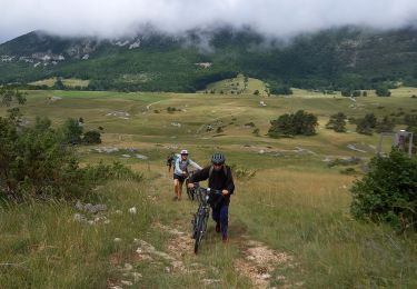
Ruta Senderismo de 15,4 km a descubrir en Auvergne-Rhône-Alpes, Drôme, Vassieux-en-Vercors. Esta ruta ha sido propuesta por crocau.
Depuis le terrain d'Ok Corr Anes juste en dessous du gîte de la Ferme du Pré, nous sommes descendu à Vassieux en 1 h puis remonté au même endroit. Le troisième jour nous voilà parti pour La Chapelle à l'acceuil d'Ok Corr Ane !
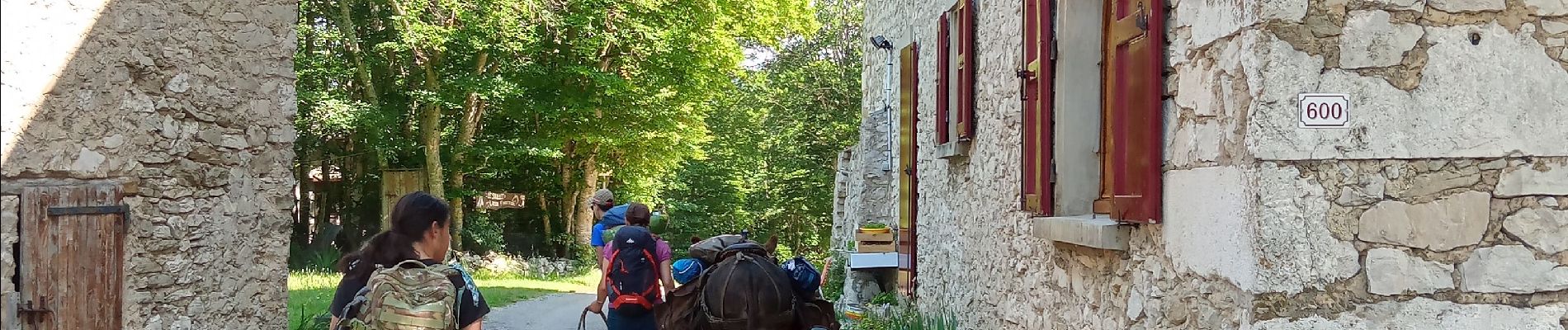
 - - Photo 1")
 - - Photo 2")
 - - Photo 3")
 - - Photo 4")
 - - Photo 5")
 - - Photo 6")
 - - Photo 7")
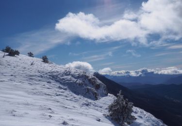
Raquetas de nieve

Senderismo
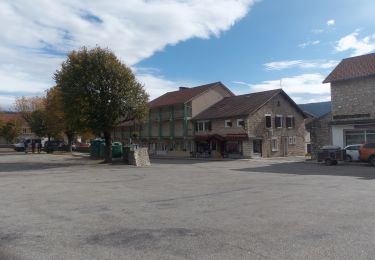
Senderismo
Senderismo
Senderismo
Senderismo
Senderismo
Bici de montaña
Raquetas de nieve