


14,2 km | 21 km-effort


Usuario


Aplicación GPS de excursión GRATIS
 SityTrail
IGN / Institutos geográficos
SityTrail World
El mundo es suyo
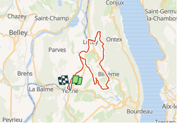
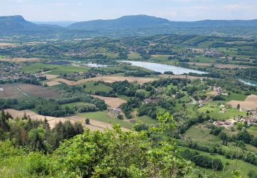
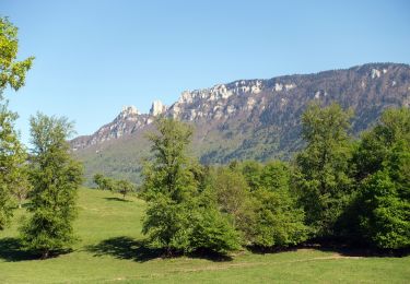
Ruta Bici de montaña de 29 km a descubrir en Auvergne-Rhône-Alpes, Saboya, Yenne. Esta ruta ha sido propuesta por jeannot01.
Un super parcourt à faire absolument.
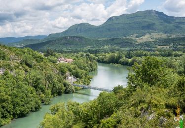
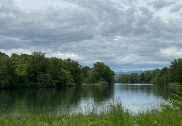
Du plat pour commencer et finir le long du Rhône.
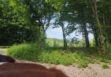
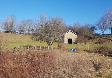
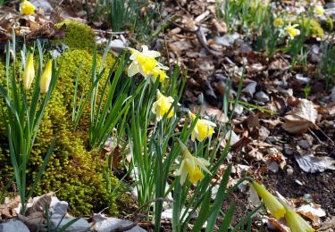
Et au milieu, de belles grimpettes, une super vue sur les vignes et les montagnes et des descentes magnifiques quelques fois un peu techniques.
Parcourt quand même difficile mais à faire.
Paseo ecuestre
Senderismo
Senderismo
Senderismo

sport
Senderismo
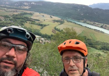
Bici de montaña
Senderismo
Senderismo