


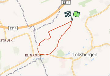

5,2 km | 6 km-effort

Tous les sentiers balisés d’Europe PRO


Aplicación GPS de excursión GRATIS
 SityTrail
IGN / Institutos geográficos
SityTrail World
El mundo es suyo
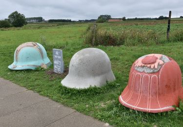
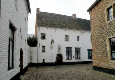
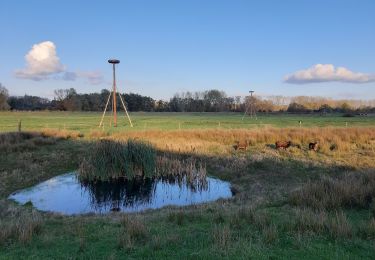
Ruta A pie de 4,3 km a descubrir en Flandes, Limburgo, Halen. Esta ruta ha sido propuesta por SityTrail - itinéraires balisés pédestres.
Trail created by Regionaal Landschap Lage Kempen.
Symbol: diamond


A pie
A pie
A pie
A pie

A pie
A pie
A pie
A pie