


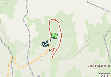

4,1 km | 11,1 km-effort

Tous les sentiers balisés d’Europe PRO


Aplicación GPS de excursión GRATIS
 SityTrail
IGN / Institutos geográficos
SityTrail World
El mundo es suyo
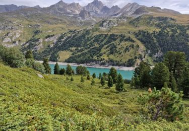
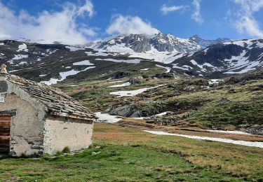
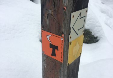
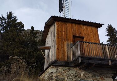
Ruta A pie de 4 km a descubrir en Auvergne-Rhône-Alpes, Saboya, Villarodin-Bourget. Esta ruta ha sido propuesta por SityTrail - itinéraires balisés pédestres.
Trail created by Parc National de la Vanoise.


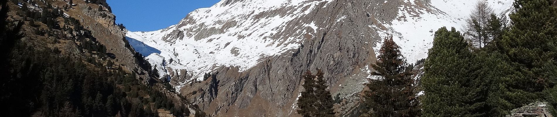
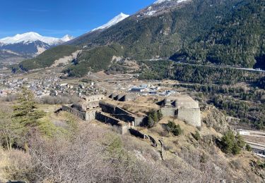
Senderismo

Senderismo

sport
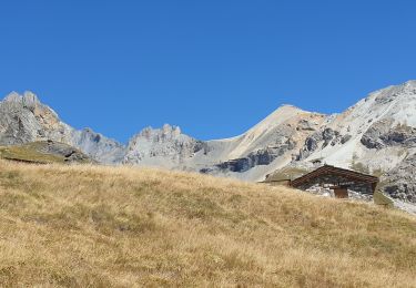
Senderismo
Senderismo
Senderismo
Senderismo
Senderismo
Senderismo