


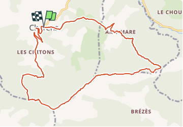

12,4 km | 18,4 km-effort


Usuario


Aplicación GPS de excursión GRATIS
 SityTrail
IGN / Institutos geográficos
SityTrail World
El mundo es suyo
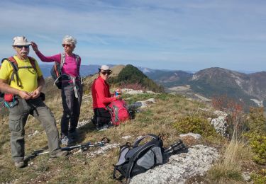
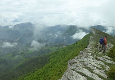
Ruta Senderismo de 12,9 km a descubrir en Auvergne-Rhône-Alpes, Drôme, Charens. Esta ruta ha sido propuesta por hugo26.
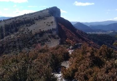
Très belle rando difficile passage câble car forte montée ou descente. A faire au mois de Juin pour les fleurs.
Bici de montaña
Senderismo
Senderismo
Senderismo
Senderismo

Senderismo
Senderismo
Senderismo

Bicicleta