


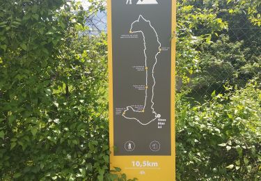
10,9 km | 20 km-effort

Usuario


Aplicación GPS de excursión GRATIS
 SityTrail
IGN / Institutos geográficos
SityTrail World
El mundo es suyo
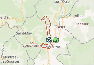
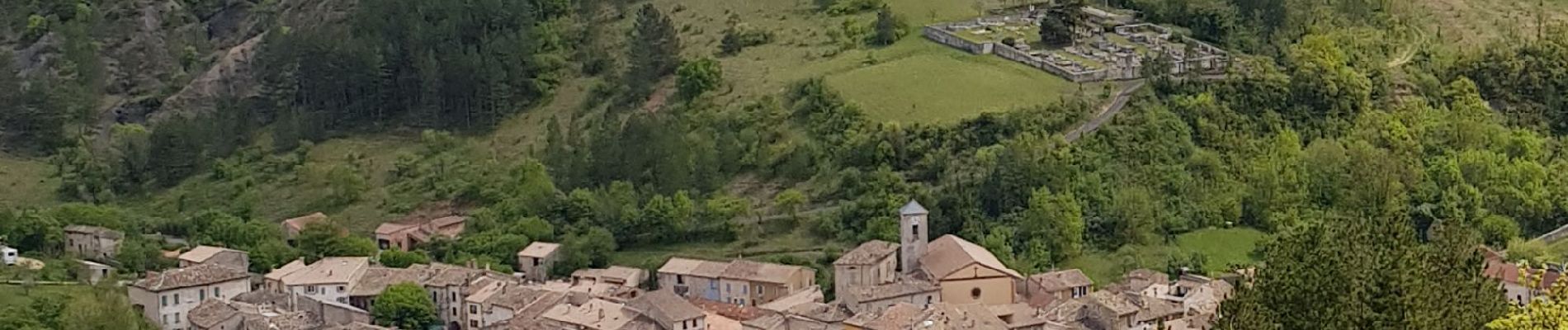
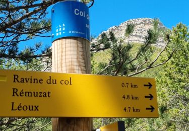
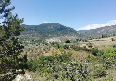
Ruta Senderismo de 11,3 km a descubrir en Auvergne-Rhône-Alpes, Drôme, Rémuzat. Esta ruta ha sido propuesta por chris13370.
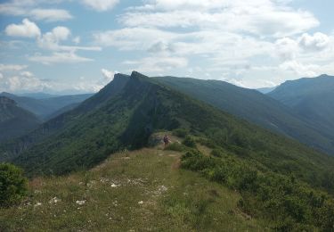
Montée technique par échelle et main courante.
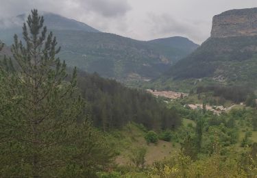
Belle récompense, l'observation du vol des vautours fauves depuis le sommet du rocher du Caire (penser à prendre les jumelles).


Senderismo
Senderismo
Senderismo
Senderismo
Senderismo

Senderismo

Senderismo
Senderismo
Senderismo