


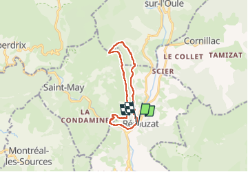

15,7 km | 29 km-effort

Usuario


Aplicación GPS de excursión GRATIS
 SityTrail
IGN / Institutos geográficos
SityTrail World
El mundo es suyo
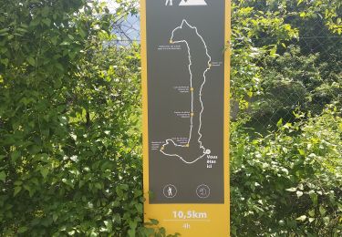
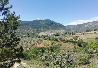
Ruta Senderismo de 10,9 km a descubrir en Auvergne-Rhône-Alpes, Drôme, Rémuzat. Esta ruta ha sido propuesta por scalpy.
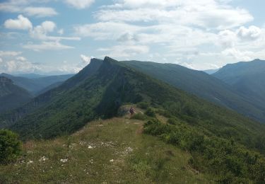
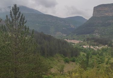
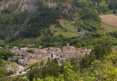
superbe randonnée qui offres de très beaux points de vues et permet d'observer les vautours. Quelques passages câblés mais très bien équipés. pas d'appréhension à avoir si vous avez l'habitude de marcher.


Senderismo
Senderismo
Senderismo
Senderismo
Senderismo

Senderismo

Senderismo
Senderismo
Senderismo