


23 km | 35 km-effort

Randonnées de la Maison du tourisme de Crans-Montana GUIDE+


Aplicación GPS de excursión GRATIS
 SityTrail
IGN / Institutos geográficos
SityTrail World
El mundo es suyo
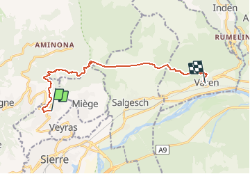
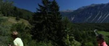
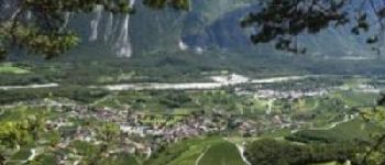
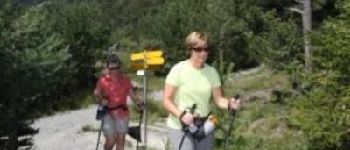
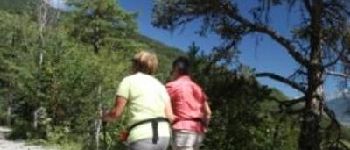
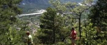
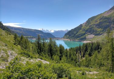
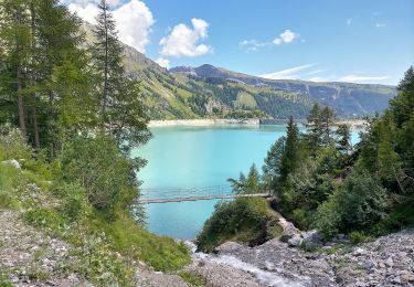
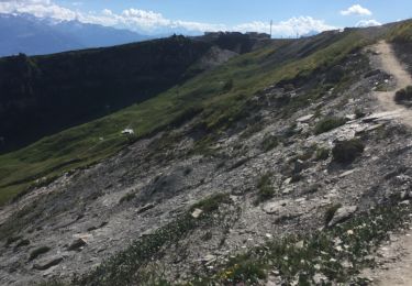
Ruta Senderismo de 10,5 km a descubrir en Vallés, Sierre, Noble-Contrée. Esta ruta ha sido propuesta por Maison du Tourisme Crans-Montana.
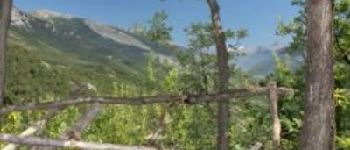
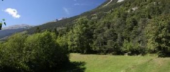
The end of the Bisse Neuf and the beginning of the Bisse de Varen are located at Valais? linguistic border. This border is geographically marked by the Raspille.


Bici de montaña
A pie
A pie
A pie

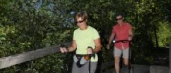
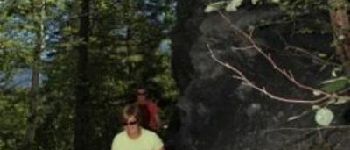
Senderismo

Senderismo

Bici de montaña
Otra actividad
Senderismo