


21 km | 26 km-effort

Usuario GUIDE


Aplicación GPS de excursión GRATIS
 SityTrail
IGN / Institutos geográficos
SityTrail World
El mundo es suyo
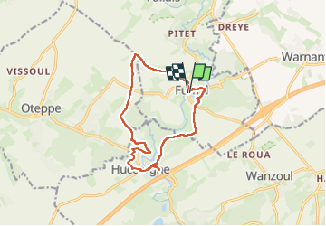
Ruta Senderismo de 11,9 km a descubrir en Valonia, Lieja, Braives. Esta ruta ha sido propuesta por Desrumaux.
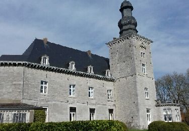
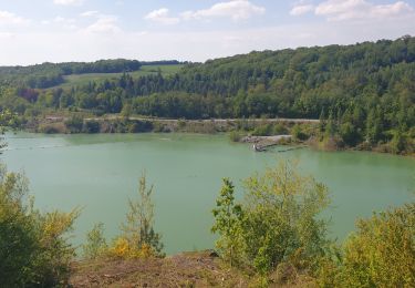
Très jolie balade au Pays Burdinale-Mehaigne
Du village de Fumal au village de Huccorgne
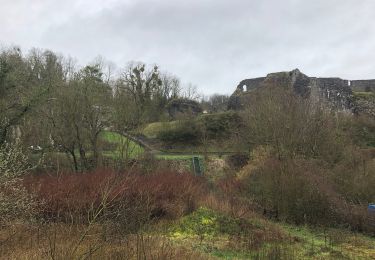
Le pays Burdinale-Mehaigne se situe au point de rencontre des grandes régions naturelles et paysagères que sont le Condroz et la Hesbaye.
Il regroupe 23 villages des entités de Braives, Burdinne, Héron et Wanze.
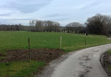
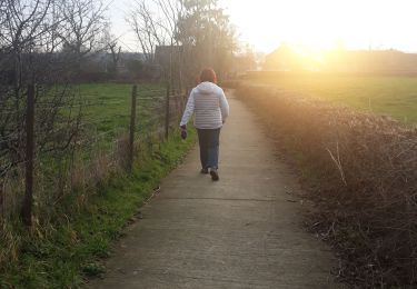
Départ sur le parking du Ravel à Fumal


21 fotos en total. Haga clic en una foto para mostrarlas todas en la galería.

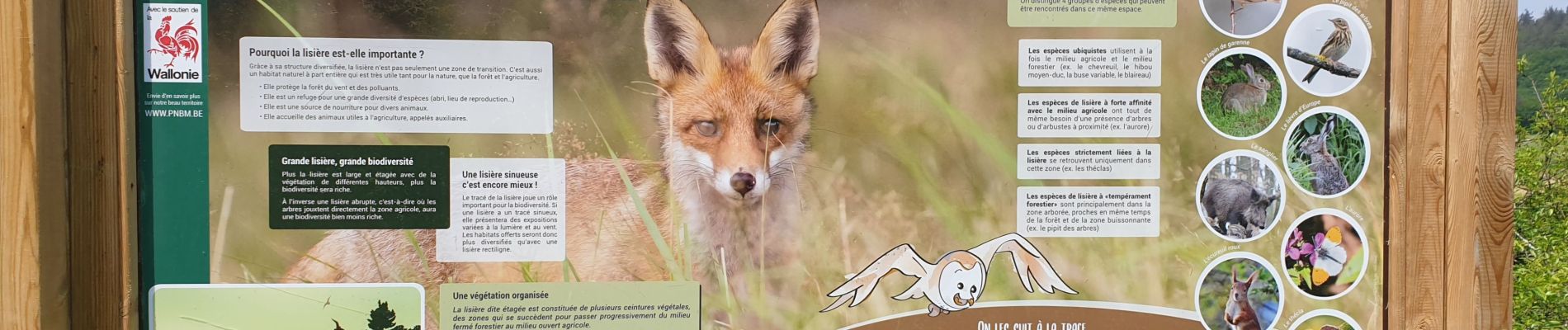
Senderismo

Senderismo
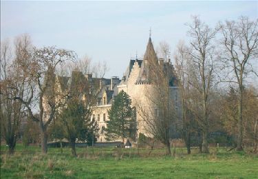
Senderismo
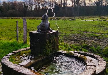
Senderismo
Senderismo
Senderismo
Senderismo
Senderismo