


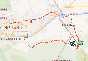

7,8 km | 13,4 km-effort

Usuario


Aplicación GPS de excursión GRATIS
 SityTrail
IGN / Institutos geográficos
SityTrail World
El mundo es suyo
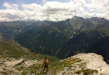
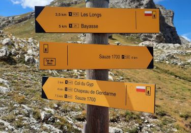
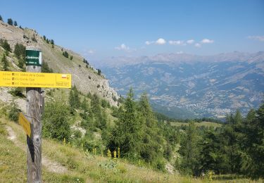
Ruta Senderismo de 7,3 km a descubrir en Provenza-Alpes-Costa Azul, Alpes de Alta Provenza, Enchastrayes. Esta ruta ha sido propuesta por walrou63.
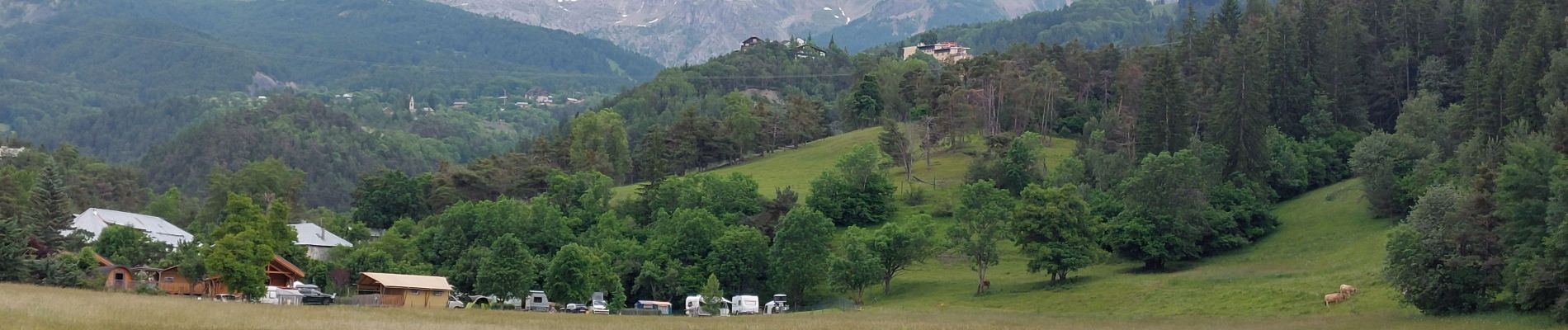
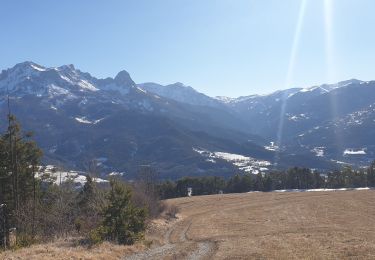
Première visite à Barcelonnette avec passage par l'Office du Tourisme pour se donner des idées de randonnées ou visites incontournables pour notre séjour. Merci à la personne qui nous a renseignés pour son professionnalisme.


Senderismo
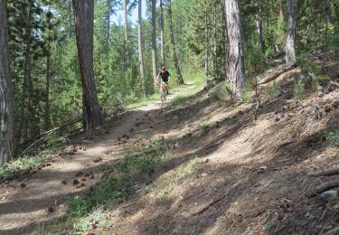
Bici de montaña
Senderismo
Senderismo

Senderismo
Senderismo
Senderismo
Senderismo
A pie