


8,1 km | 11,6 km-effort

Randonnées de Vélo Loisir Provence GUIDE+


Aplicación GPS de excursión GRATIS
 SityTrail
IGN / Institutos geográficos
SityTrail World
El mundo es suyo
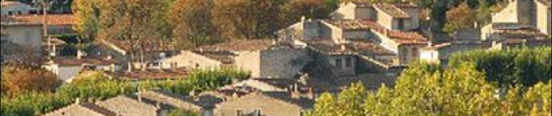
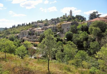
Ruta Bicicleta de 29 km a descubrir en Provenza-Alpes-Costa Azul, Alpes de Alta Provenza, Céreste. Esta ruta ha sido propuesta por Vélo Loisir Provence.
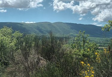
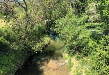
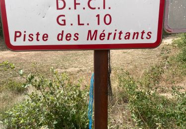
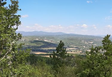
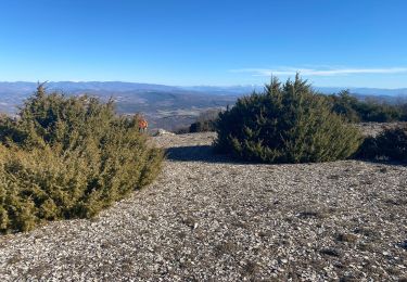
A ride through Caseneuve plateau ! You will cycle among green and white oak forests and pass by lavenders and cereals fields red-tinted by poppies in spring. Direction of the itinerary : Céreste => Oppédette => Sainte-Croix-à-Lauze => Céreste

Senderismo
Senderismo
Senderismo
Senderismo
Senderismo
Senderismo
Senderismo
Senderismo
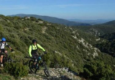
Bici de montaña
Peut on utiliser vos traces gpx sur Iphigénie ? Merci