


11,5 km | 13,8 km-effort


Usuario


Aplicación GPS de excursión GRATIS
 SityTrail
IGN / Institutos geográficos
SityTrail World
El mundo es suyo
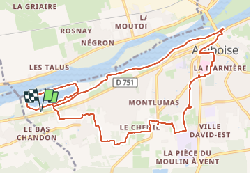
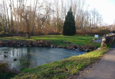
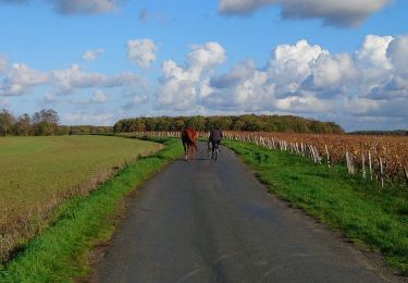
Ruta Senderismo de 13,2 km a descubrir en Centro, Indre y Loira, Amboise. Esta ruta ha sido propuesta por Orcal37.
Amboise - variante PR Hors des sentiers battus - départ de la Varenne-sous-Chandon - 13.2km 125m 2h45 - 2023 12 20


Senderismo

Senderismo

Senderismo
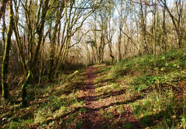
Senderismo

Senderismo
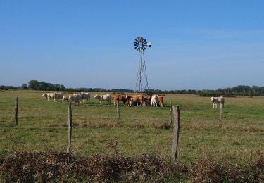
Senderismo
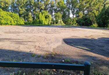
Senderismo
Senderismo
Senderismo