


9,9 km | 13 km-effort


Usuario


Aplicación GPS de excursión GRATIS
 SityTrail
IGN / Institutos geográficos
SityTrail World
El mundo es suyo
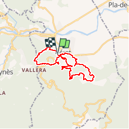
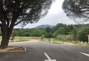
Ruta Senderismo de 16,4 km a descubrir en Occitania, Pirineos Orientales, Céret. Esta ruta ha sido propuesta por jeff66.
66 CERET - parking de la sous préfecture - rond point d'Almonte - route du Ventous - mas d'en Xinoga - col de Bousseills - mas Geli - d'en castanyedes - mas Galy - font passa temps - rue Edmond Brazes - rue des évadés de France - place de la liberté - rue aristide Maillol - anc. Couvent El Castellas - vue sur le stade de Fondecave, le lycée D. De Severac - table d'orientation - mas d'en Valenti - point de vue sur maureillas la plaine la cote - mas Boher - mas Blasi - mas Ceris - mas d'en Vinagre - mas Favol - mas Ponet - mas d'en Poble - cascade de Beussos - ris Beussos - mas de la font d'en fils - rues de Baoussous, de l'enclos, de la cascade, lycée, stade, salle de l'union, place d'en Duran, rue Mirabeau, rue de la fusterie, bld simon
Batlle,


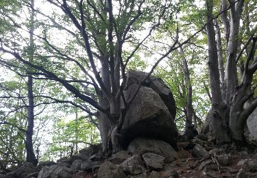
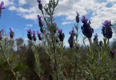
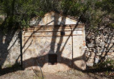
26 fotos en total. Haga clic en una foto para mostrarlas todas en la galería.

Senderismo
Senderismo

Senderismo

Senderismo
Senderismo

Senderismo
Senderismo
Senderismo
Senderismo