


19,3 km | 32 km-effort


Usuario


Aplicación GPS de excursión GRATIS
 SityTrail
IGN / Institutos geográficos
SityTrail World
El mundo es suyo
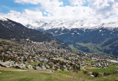
Ruta Senderismo de 14 km a descubrir en Vallés, Conthey, Nendaz. Esta ruta ha sido propuesta por rpf.
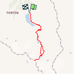
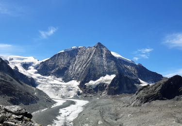
Une magnifique randonnée au-dessus de Cleuson, dans le monde minéral du Grand Désert et de ses lacs glaciaires. Entre Rosablanche et Combins... sur les traces de la Patrouille des Glaciers
Départ au-dessus du Barrage de Cleuson (route réservée aux ayants-droit depuis Siviez). Montée au Lac du Grand Désert, après la Cabane Saint-Laurent, puis sous le Glacier du Grand Désert et enfin au Col de Louvie.
Une balade de " www.toprando.ch "
Senderismo
A pie
A pie
A pie
Senderismo
Senderismo

A pie

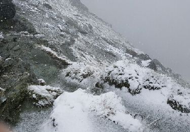
Deportes de invierno

Senderismo