


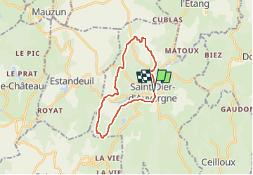

12,3 km | 17,1 km-effort

Usuario GUIDE


Aplicación GPS de excursión GRATIS
 SityTrail
IGN / Institutos geográficos
SityTrail World
El mundo es suyo
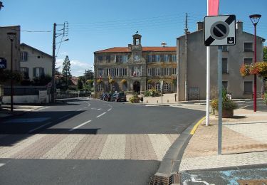
Ruta Senderismo de 11,4 km a descubrir en Auvergne-Rhône-Alpes, Puy-de-Dôme, Saint-Dier-d'Auvergne. Esta ruta ha sido propuesta por jagarnier.
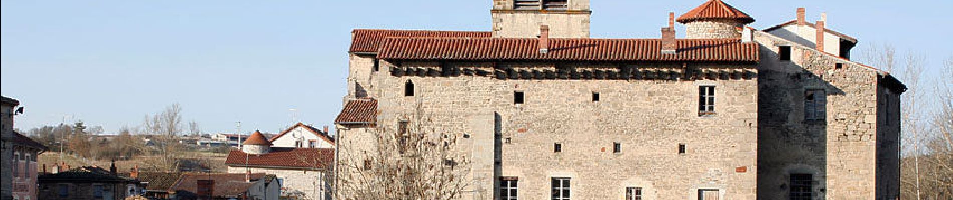
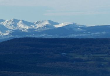
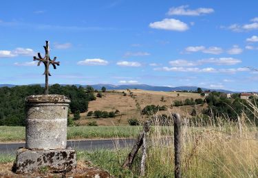
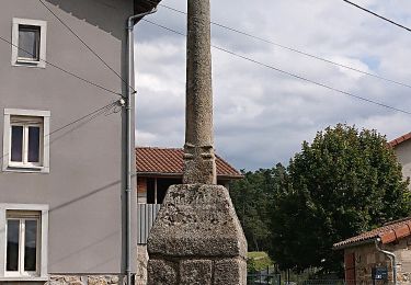
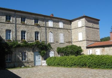
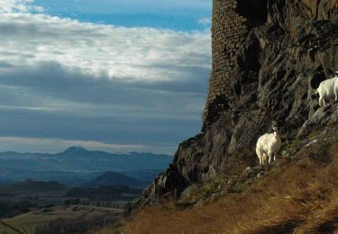
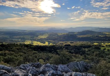
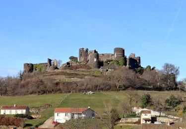
Un circuit caractérisé par la beauté des vallons, les magnifiques villages en granit, de belles bâtisses et d’anciens moulins sur le Miodet. Une randonnée avec des vues sur le Forez et les ruines du château de Boissonnelle.

Senderismo
Senderismo
![Excursión A pie Saint-Jean-des-Ollières - [Itinéraire] Le pic de la Garde - Photo](https://media.geolcdn.com/t/375/260/ext.jpg?maxdim=2&url=https%3A%2F%2Fstatic1.geolcdn.com%2Fsiteimages%2Fupload%2Ffiles%2F1545311037marcheuse_200dpi.jpg)
A pie
A pie
A pie
A pie
A pie
Senderismo
Senderismo