


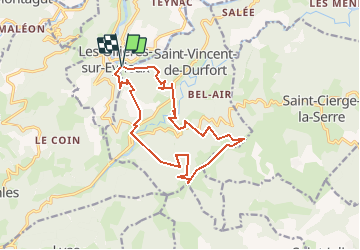

23 km | 35 km-effort


Usuario


Aplicación GPS de excursión GRATIS
 SityTrail
IGN / Institutos geográficos
SityTrail World
El mundo es suyo
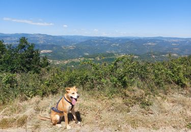
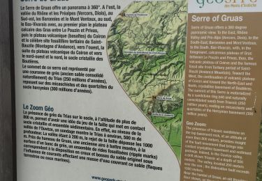
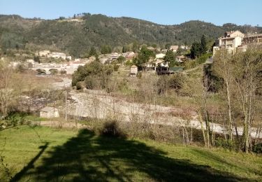
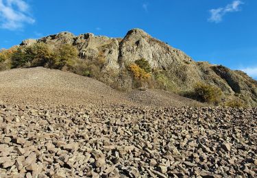
Ruta Caballo de 15 km a descubrir en Auvergne-Rhône-Alpes, Ardecha, Les Ollières-sur-Eyrieux. Esta ruta ha sido propuesta por giterias.
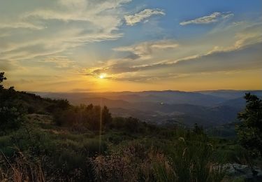
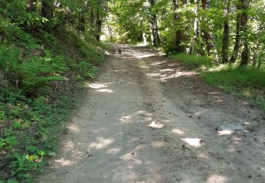
Petite boucle équestre de 16 km avec dénivelé important et possibilité de baignade et pique nique à proximité du parking.
Senderismo
Senderismo
Senderismo
Senderismo
Senderismo
Senderismo
Senderismo
Senderismo
Senderismo