


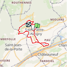

13,9 km | 29 km-effort


Usuario


Aplicación GPS de excursión GRATIS
 SityTrail
IGN / Institutos geográficos
SityTrail World
El mundo es suyo
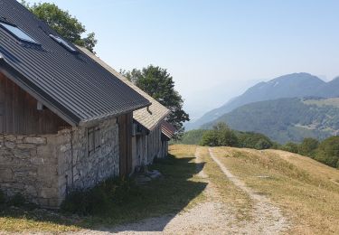
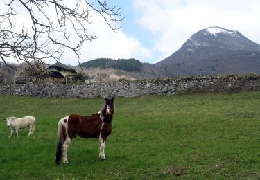
Ruta Senderismo de 13,2 km a descubrir en Auvergne-Rhône-Alpes, Saboya, Saint-Pierre-d'Albigny. Esta ruta ha sido propuesta por Bogapuki.
13-01-2018
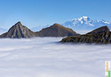
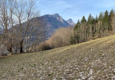
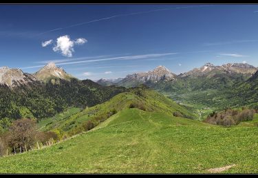
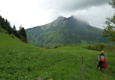
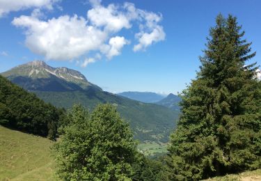
Rando facile, quoi qu'un peu longue. Magnifiques panoramas sur la vallée, le massif de la Lauzière, le Grand Arc...
Senderismo

Senderismo
Senderismo
Senderismo
Senderismo
Senderismo
Esquí de fondo
Senderismo
Senderismo